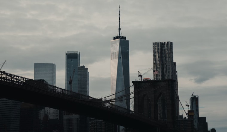
As New Yorkers braced themselves against the sweltering summer heat, the National Weather Service issued a forecast that promises little respite in the form of possible severe thunderstorms bearing down on the city. The detailed forecast for Manhattan today includes a chance of showers and thunderstorms with potential severe weather conditions beginning after 5 pm. With a high near 91 degrees and heat index values soaring as high as 98, residents are in for a sultry day.
Neighbouring boroughs echo similar concerns. In an almost synchronized pattern, Brooklyn's forecast also suggests a 60% chance of precipitation, with new rainfall amounts between a quarter and half an inch possible.
Meanwhile, in Queens, as well as in the Bronx and Staten Island, residents can likewise expect showers likely and a possible thunderstorm post 5pm.
Moreover, this unsettled weather pattern isn’t just an outlier. The Hazardous Weather Outlook released by the National Weather Service, signals "a marginal to slight risk of excessive rainfall capable of producing localized flash flooding, and a marginal risk of severe thunderstorms capable of producing strong to damaging wind gusts." These conditions are anticipated to prevail today and into the night, whereas the following days from Wednesday through Monday seem to promise a much-needed reprieve from any weather reaching NWS warning criteria.
Rainy weather is expected in the city before conditions improve for Independence Day. Forecasts predict sunny skies and slightly cooler temperatures in the mid-to-upper 80s across the boroughs. After periods of storms and heavy rain, clear skies and calm winds are expected, creating favorable conditions for holiday celebrations.


