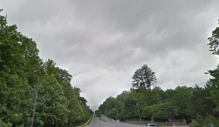
Raleigh residents should prepare for unsettled weather this week. The National Weather Service in Raleigh has issued a Hazardous Weather Outlook for central North Carolina, warning that thunderstorms expected this afternoon and evening may bring isolated damaging downburst winds and heavy rainfall capable of causing localized flooding.
Rain is expected today and over the next several days. High temperatures today will reach the mid-90s, with heat index values potentially rising as high as 102 due to humidity. There is a 30% chance of precipitation today, with the possibility of intense rainfall. Winds are expected to remain calm, but slow-moving thunderstorms could lead to isolated to scattered flash flooding Monday afternoon through evening, according to the NWS.
The workweek is expected to feature a mix of weather disturbances, with rainfall amounts varying from light showers around a tenth of an inch to heavier thunderstorms. Humidity levels will remain consistently high, rarely dropping below the upper 80s in percentage. From Monday through Saturday, the chance of storms will increase during the daytime, with daily precipitation probabilities ranging between 50 and 70 percent.
Nighttime offers minimal relief, with low temperatures settling in the mid-70s and storms likely before 1 a.m., followed by fog developing after 5 a.m. The NWS warns that scattered storms with localized heavy rain and flooding will continue to be possible throughout the upcoming week. Raleigh residents should remain cautious during nighttime hours, as weather conditions may remain unpredictable both day and night.


