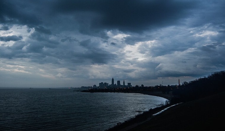
The National Weather Service in Cleveland, OH, has our weather future mapped out for the coming days, and if you were hoping for clear skies all weekend, you might want to rethink your outdoor plans. Today is shaping up fine, with high pressure from the north bringing slightly drier and more comfortable air on those northern breezes. But don't get too comfy, because starting Saturday, there's a potential for things to get stormy.
According to the National Weather Service, Cleveland, OH, latest forecast discussion, there's a stationary front taking a break just south of the I-70 corridor, and while temperatures near the lakeshore are settling into the lower 60s dewpoint-wise, what's headed north this Saturday could stir the pot. We're looking at MLCAPE values teetering around 1500 J/KG and shear values at about 35 knots. The polite way of saying folks near Central Ohio might want to keep an umbrella handy today and perhaps a storm shelter on speed dial for Saturday.
Coming off a quiet Friday night, Saturday's going to serve up some severe weather theatrics - we've got the entire area under a SPC day 2 slight risk for severe convection. "All modes of severe weather may be possible with damaging winds being the main threat, followed by marginal large hail," reported the NWS. There's even chatter about a very low threat for an isolated tornado or two—just another layer of excitement to add to your high-temperature, high-drama Midwestern weekend.
But wait, Sunday's got its own little bag of tricks - a weak cold front is planning to drift through central Ohio, bringing yet another chance for showers and the odd thunderstorm, mainly south of Highway 30. With Sunday’s highs forecasted for the upper 70s and lower 80s, it won't be too hot, and as high pressure builds back in on Monday, we're due for sunnier skies. Moving into the middle of next week, the conversation turns to heat, with temperatures taking a skyward climb into the upper 80s and lower 90s. "The heat index values may approach the upper 90s to near 100 degrees by the middle of next week," warns the NWS. Time to get those fans out of storage or, better yet, find a pool to camp out by.
If you're looking to hit Lake Erie for some aquatic respite, expect relatively calm conditions with winds of 5 to 15 knots and waves keeping it less than three feet high through Tuesday, as informed by NWS discussions. There's a warm front sweeping in tonight through Saturday, so watch NE'erly winds switch up to SW'erly if you're sailing. Just know that as that low skirts eastward come Saturday night, winds will shift again, bringing in that fresher - if not cooler - N'erly to E'erly breeze by Sunday through Tuesday.


.jpg)