Baltimore is gearing up for changing weather as a weak high-pressure system offshore makes way for a cold front coming in from the Great Lakes and Ohio River Valley. According to the National Weather Service Baltimore MD/Washington DC, showers and thunderstorms are expected to roll in later this evening, bringing cooler temperatures and a potential for some severe weather.
Today, however, marks the region’s warmest temperatures for a while, with the mercury rising into the low 90s. Despite some cloud cover in the afternoon and evening, the heat index may nudge near the century mark. Given 850-mb temperatures should reach the 18- 19 °C range, a few 95-degree readings also appear possible, the National Weather Service states. But, by the evening, attention turns to the approaching front as the Storm Prediction Center has highlighted areas from the eastern West Virginia panhandle down to the central Virginia Piedmont under a Marginal Risk for severe weather, including damaging wind gusts.
Looking ahead, the front is predicted to linger south of the area through mid-week, shifting temperatures downward and bringing a cooler breeze—especially north of U.S. 50. Showers will be on and off into Monday night, with a further dip in temperatures into Tuesday, according to the weather service. Overnight low temperatures will fall into the 60s, slightly cooler in higher elevations.
The longer-term forecast includes Hurricane Erin, which, at the moment, is expected to stay clear of the U.S. mainland. Wednesday, however, might see increased thunderstorm activity before drier conditions set in for Thursday and Friday due to Erin's influence. The impending hurricane is also set to pull away quickly, allowing for a return to wetter and warmer weather over the weekend. In the wake of Erin, a surface high-pressure system quickly moves over the area into the western Atlantic Friday night into Saturday, the National Weather Service indicates, predicting a comeback of higher rain chances and warmer temperatures.
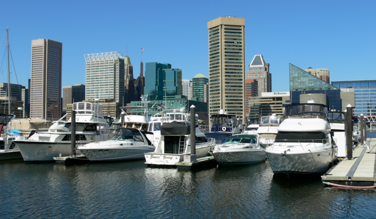
On the marine front, boaters should expect some gusty conditions on the Chesapeake Bay today ahead of the cold front, and again starting Monday afternoon as northeasterly winds pick up. Small Craft Advisories might be necessary as these winds carry over into Tuesday. Additionally, with Hurricane Erin's approach, marine conditions could become choppier with SCAs potentially extending into Thursday evening.
As for tidal concerns, Annapolis is set to experience minor flooding again tonight during high tide, while other waterfront areas may also be affected. Elevated tidal anomalies continue through the remainder of the weekend with some uptick forecast due to onshore winds, the NWS report states, cautioning of heightened water levels, though a slight reduction is expected after the cold front passes.


