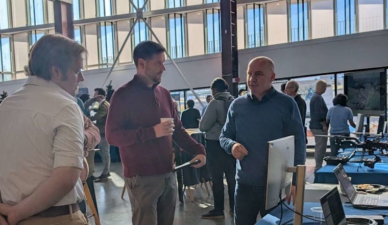
Mark your calendars for an informative celebration of Geographic Information Systems (GIS) in Raleigh this coming November. The City of Raleigh’s Information Technology Department invites the public to the City of Raleigh Museum for GIS Day 2025 on November 19, from 8:30 a.m. to Noon. This free event is aimed at those intrigued by the significant role GIS plays in our understanding and decision-making within our community.
For the uninitiated, GIS is more than a complex cartography—it's a critical tool in modern-day problem-solving and planning. According to the City of Raleigh's official announcement, "Geographic Information Systems (GIS) help us better understand the world around us." The morning will consist of hands-on learning stations, live technology demos, and the opportunity to engage with professionals who make GIS their business. Whether you're mapping out new development or tracking environmental changes, the event promises to shed light on how local governments and creators alike, harness the power of GIS.
Got an eye for mapping? Enter the 2025 GIS Day Map Contest by November 11. This contest is open to both students and professionals showing off their original maps, which must be based on GIS data or tools. The competition stipulates the maximum size for submissions is 34” x 44” in landscape format, and a digital version is required. The City of Raleigh Museum will showcase all entries on GIS Day, and attendees will cast their votes to crown the winner.
Take your place at the forefront of this technological exploration as GIS Day 2025 also welcomes individuals who wish to present or host a table. If interested, potential presenters or exhibitors can reach out via email at [email protected].
GIS Day 2025 is poised to be a morning of discovery with far-reaching implications for the direction we shape our surroundings. In keeping with the spirit of community and collaboration, "Let’s map out the future together!" exhorts the City of Raleigh.


