Hawaii will get a break from strong trade winds this week, with lighter breezes expected across the islands. The National Weather Service in Honolulu says a low-pressure system north of the state is bringing calmer, typical summer weather.
Some cloud bands will grace the skies, swept along by persistent trade winds, yet don't hold out for rain — the upper-level ridge is imposing a cap, limiting shower activity for most of the state. "The satellite imagery this morning shows a low pressure system stalled out just north of the Hawaiian Islands," the NWS forecast notes. The outcome is a week of moderate trade wind speeds, which, coupled with some sea breezes, might trigger isolated afternoon showers on the mountain slopes and interiors of the islands. Come Tuesday, a whisper of heightened trade winds and a sprinkle of moisture may tickle the Big Island, but for the most part, expect days largely untouched by significant wetness.
Aviators, too, can look forward to favourable conditions. The wind's mellowing out isn't just a conversation starter or a relief for bad hair days. VFR conditions are set to prevail, with no AIRMETs currently in effect nor anticipated in the near future. This is when routine turns into smooth sailing — or flying, in this case — under Hawaii's summer sky.
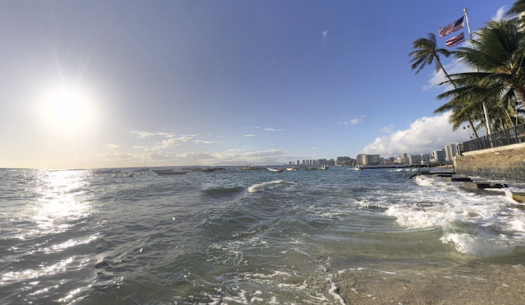
Surfers might need to bide their time for something substantial to ride on as the small swell energy from the south starts to wane. However, a silver lining comes in the form of a few small, long-period South swells expected to bump up Southern shore surf from Tuesday through Friday. Meanwhile, the North and West-facing shores will continue to stay placid, keeping the boards mostly dry. As for East shores, expect the usual short-period chop — no major shake-ups there.
On the fire weather front, dry conditions call for a proactive awareness, with low humidity levels recorded across the islands. Nevertheless, while the relative humidity has dipped into the 30 to 40 percent range, it's the low wind speeds that spare Hawaii from crossing into critical fire thresholds. Temperature inversions, particularly around Maui and the Big Island, will hover in the 5,500 to 6,500 feet range — a fact that is more than a mere detail for those attuned to the nuances of fire weather forecasting.
The overarching message from the National Weather Service? Expect the status quo to hang tight — Hawaii's weather is sticking to the script, keeping at bay any watches, warnings, or advisories. So whether you're hitting the beach, taking flight, or just enjoying the slower pace of a lazy, breeze-caressed afternoon, it seems the islands are set to deliver days worth savoring under the Pacific sun.


