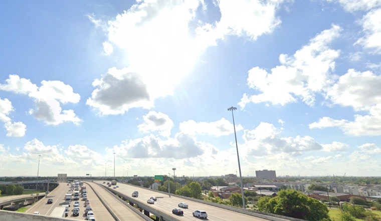
Houston residents are facing a sweltering forecast with a heat index reaching critical levels this week. According to the National Weather Service, the city will see a 30 percent chance of showers and thunderstorms today, mostly between 3 pm and 5 pm, but the real story is the heat. Temperatures are expected to hit a high near 91 degrees, but with the heat index values peaking as high as 102, the conditions are set to be oppressive.
The situation intensifies through the week with Thursday and Friday forecasts indicating sunny skies and a high nearing 93 degrees. A brief respite is confined to the evenings with low temperatures hovering around the high 70s. Avoiding the outside during peak afternoon hours has been advised, where the heat can feel much more severe than actual temperatures suggest. Today, CW39 reports an anticipated heat index of 106 degrees, underscoring the urgent need for caution.
CW39 urged locals to take extra precautions due to high humidity and temperatures starting in the mid-70s, climbing into the 90s. Health officials recommended staying hydrated and avoiding strenuous outdoor activities during the hotter part of the day.
Looking forward into the weekend and early next week, the forecast does not offer much in the way of change. Staying inside a parked vehicle, which can quickly turn into an oven under such heat, is a critical mistake one should avoid. Additional measures to combat the heat include checking on vulnerable populations like the elderly and ensuring pets have shade and water.


