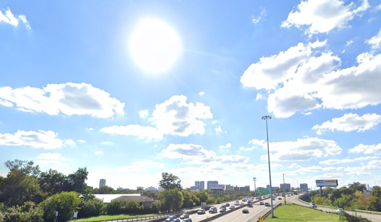
Houston residents can anticipate a typical dose of heat with the added chance of afternoon showers and thunderstorms this week. According to the National Weather Service, today will see a 30 percent possibility of rain, primarily after 3 p.m., with highs nearing 95 degrees and the heat index pushing past 100. Come evening, the chances of rain and thunderstorms linger, mainly before 1 a.m., with partly cloudy skies and lows around 78 degrees.
The odds of precipitation jump to 60 percent tomorrow afternoon, with similar conditions expected through the end of the week. Despite areas of the Midwest and Great Lakes experiencing a drop in temperature to near 50 degrees, Houston's "cooler" air may only bring a slight, temporary reprieve this weekend or early next week, with a modest decrease of about three degrees, as reported by FOX26 Houston.
Those expecting a reprieve from the scorching heat will have to contend with near-average temperatures locally, with lows remaining in the mid-70s and high temps in the mid-90s. With a bit of luck, though, the weekend may introduce a small drop in the heat.
In terms of tropical activity, the region seems to be getting a break. Tropical Storm Fernand is on its decline, predicted to dissipate as it encounters colder waters and the unforgiving jet stream in the North Atlantic. The tropics, including one tropical wave in the Caribbean, show few signs of further disturbances in the coming days.


