Texans are preparing for a Labor Day weekend with potential flooding risks across the state. According to the National Weather Service, Houston has a 20% chance of showers and thunderstorms after 1 p.m. today, with heat indices reaching triple digits. A slow-moving cold front is lowering temperatures while increasing the risk of heavy rainfall and possible flooding through the weekend.
On Thursday, high pressure may bring mostly sunny skies, but storm chances remain. The Houston Chronicle reports that areas west of Interstate 45 have a 20% to 30% chance of isolated showers, while regions east and north of the city face higher storm probabilities. Temperatures could rise above 95 degrees without significant rain or cloud cover.
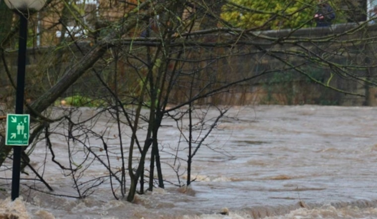
Localized flooding is not expected to be a major concern in Houston on Thursday, though storms moving from Oklahoma into Texas may bring some flooding risk by evening. The Weather Prediction Center forecasts a level 1 out of 4 flood risk near and north of Houston on Friday, indicating isolated flooding is possible. Rural areas, including Austin and San Angelo, face greater risks in rivers, streams, and creeks.
For the weekend, rain chances increase, with the National Weather Service forecasting a 50% chance of showers and thunderstorms on Saturday night. Flood alerts and changing conditions remain possible as the cold front progresses across the state.


