Ohio's weather landscape is taking on a more subdued tone this week as a dry and cool airmass settles in, according to the National Weather Service in Wilmington. Forecasters predict a stretch of chillier days, with temperatures hovering below what one might typically expect this time of year. "A dry and seasonably cool airmass will remain in place across the region through mid week," indicates the service's latest report.
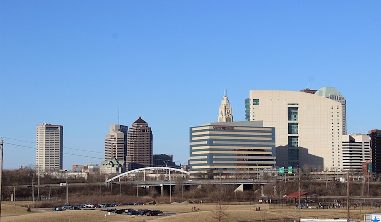
For those planning to step out in cities like Columbus and Cincinnati today, they can expect high temperatures reaching the 70s, quite a respite from the summer scorcher days. The surface high pressure, curling its influence from the Northern Plains, is the main artist behind today's weather portrait, providing cool and dry advection that should manifest as a partly to mostly sunny sky.
As we move into the evening, the longwave trough looks to deepen its reach, continuing to shape the region's climate from the Great Lakes into the Northeast. Despite this, "most locations will stay dry" according to the forecast discussion, with only a slight chance for showers north of Interstate 70 come Tuesday afternoon. Citizens should embrace the idea of donning a light jacket, as "below normal temperatures are expected in the short term," the forecast elaborates.
The narrative changes little when forecasting further out into the week, with high pressure steadily gaining ground. This weather tango ensures the cool air doesn't stray far, administering "calm, clear conditions each night and partly cloudy conditions during the daytime hours." The high pressure's eastward shift on Thursday only nominally nudges temperatures up before another cold front stages its entry on Friday, bringing yet another round of cool, dry air to set the weekend scene, per NWS.
Aviation reports also iterate positive news for travelers, with "VFR conditions expected through the TAF period." While winds today are set to blow at around 10 knots across the board, a bit more forgiveness is in sight for tonight as high pressure builds, easing off the breeze. The NWS does give a nod to the possibility of "patchy river valley fog in prone areas," but keeps the optimism intact by suggesting "we are not expecting a significant or lengthy impact."


