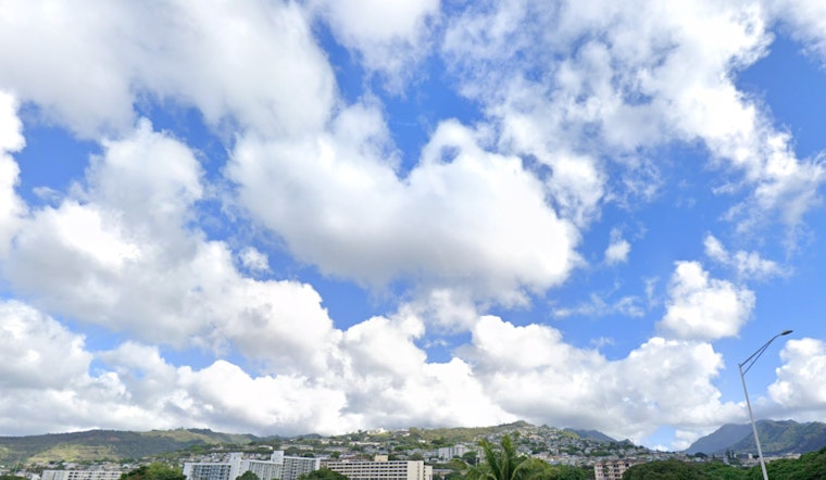
Honolulu's weather seems to be holding a steady, predictable pattern for the next week. Light to moderate trade winds will blow across the islands with some playful sea and land breezes joining in the mix, according to the National Weather Service. It's not all sunny skies, however, with a brief surge in shower activity expected Sunday into Monday.
For those inclined to look towards the heavens – or at least to the mountain regions, overnight and early morning showers are likely to grace windward and mauka areas. The rest of the state should stay relatively dry, though an occasional shower could dab at the leeward areas in the afternoon, thanks to those sea breezes. The NWS notes, "mostly dry and stable conditions will prevail," but keep an eye out for that weak surface low hitchhiking south of the Big Island tomorrow, it's likely to bring a splash or two.
Mariners and beachgoers, the forecast is looking to be in your favor. The high pressure ridge to the north is taking it easy and sliding south, dropping those trade wind speeds to a gentle cruise. This might stir up a few localized sea breezes for those on the water. Surf aficionados will notice the south shores offering up average summer waves, with a decline expected as the week wanes. Come next Tuesday, though, a blend of north and northwest swells could raise the bar, possibly aligning with September averages per the NWS's keen observations.
For beach dwellers, it's not just about catching waves but catching moments – preferably without a backdrop of flooding. With peak monthly high tides and water levels already strutting higher than predictions, minor coastal flooding is on the horizon, especially during those afternoon high tides. Make sure to keep your flip-flops and picnic baskets clear of those encroaching waves.
Turning the thermometer towards fire weather, the NWS advises that critical fire weather conditions might be flirted with across some leeward areas but are unlikely to be fully engaged thanks to lighter winds. "Critical fire weather RH values may be approached each afternoon though next week," they mention, though a stable weather outlook should persist after Tuesday, mitigating those risks.


