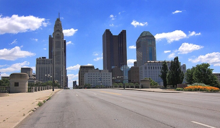
The weather forecast for the Columbus and Cincinnati areas has been a hot topic, quite literally, with seasonal temperatures turning heads towards the weekend, only to dip well below average as we trudge into the work week. The National Weather Service in Wilmington, OH, has laid out expectations of dryness preceding a cool sweep that's about to hit the heartland of Ohio.
Thursday experimented with the idea of dry conditions, a prelude orchestrated by mid-level ridging and a persistent surface high pressure. Despite the dramatic performance Hurricane Erin's been putting on out in the Atlantic, its only impact on Ohio's weather has been a slight uptick in those northeasterly gusts. According to the National Weather Service, "northeasterly flow at the surface sustained around 10 MPH with some 15 MPH gusts possible during the afternoon hours on Thursday." And while isolated showers might loom over the lakeside regions, confidence in their materialization is as fleeting as your last umbrella.
As night falls on Thursday, the region seems to cling to the quiet, like a lullaby promising lows in the low to mid 60s. The heat needles slightly upwards on Friday, with the Ohio Valley caught under the mid-level ridge's subtle embrace, nudging temperatures to the upper 80s in some areas. The skies are expected to clear, kindling anticipation for a mostly sunny day speckled with benign cumulus clouds.
The scenic peace is short-lived as a mid-level shortwave trots through the Great Lakes over the weekend, trailed by a cold front nipping at our comforts from Saturday night into Sunday. Before cool air claims its territory, however, "a brief period of southwesterly flow ahead of the front on Saturday will likely not be enough to pull deeper moisture into the region, so most areas will remain warm and dry to start the weekend," according to the forecast discussion from the NWS. Then, it's a sobering transition into a week where sweaters might dwarf those abandoned sunglasses amidst a sustained chill.
The aviation crowd won't dodge the weather's little quirks either. A hovering MVFR cloud deck and an occasional IFR visitor make for some eyebrow-raising takeoffs and landings. But as with all stories of murk and gloom, improvement is on the horizon—or rather, the late afternoon—with conditions clearing up for what might be serene flights thereon out. And there's chatter of some fog trying its luck again overnight, but NWS hasn't quite staked a claim on that theory. For now, airlines can expect "no significant weather" to disrupt their routes, a brief yet comforting respite in an otherwise temperamental setting.


