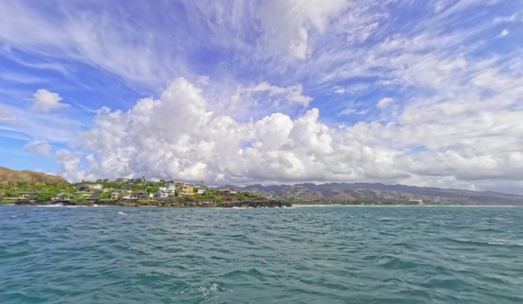
Trade wind strength across the Hawaiian Islands is set to taper off as the remnants of Tropical Cyclone Gil are expected to drift westward, coming in proximity to the islands on Wednesday and Thursday. This shift in weather patterns is anticipated to usher in warmer and muggier conditions, with a likelihood for increased showers, particularly over leeward regions. As reported by the National Weather Service (NWS) - Honolulu Weather Forecast, a weakening high-pressure ridge north of the islands is responsible for the decrease in trade wind speeds.
A visual inspection of satellite imagery this morning indicates the movement of a stable stratocumulus cloud band from east to west, engulfing all islands. However, "A strong subsidence temperature inversion aloft will tend to decrease cloud cover and shower activity later this morning," the NWS remarks. Shower impacts ensuing Tropical Cyclone Gil's remnants will vary extensively, depending on the system's trajectory and proximity to the Hawaiian archipelago.
On the aviation front, a continuation of moderate to locally brisk trade winds is forecasted for today, with a transition to lighter winds from Tuesday afternoon. Meanwhile, an AIRMET Tango is in place for moderate low-level turbulence, likely to be lifted later as winds at altitude abate.
The weakening high-pressure system is set to induce declining trade wind speeds through midweek. The Small Craft Advisory (SCA) remains in effect for selected waters until Tuesday morning. Anticipate a moderate, long-period south swell expected to peak this evening, followed by a potentially more substantial swell later in the week. "Another swell is expected from a low formed south of New Zealand at the end of July, that measured seas of 35 to 40 feet aimed towards Hawaii," according to the NWS forecast.
Concerning fire weather, humidity is projected to ascend as winds decrease from today through Tuesday, with trade wind inversion heights falling to around 5000 to 6000 feet. This decrease in humidity, along with the very low relative humidity near the inversion level over the higher elevations of Maui and the Big Island, sparks continued elevated fire weather considerations.
Residents and visitors alike are advised to stay alert to weather forecast updates, especially as the approach of another tropical system, currently Tropical Depression Eight-E, may once again disrupt the typical climatic conditions towards the end of the week.


