Islanders and travelers to Hawai'i, brace yourselves for a confluence of weather patterns this week as Tropical Storm Henriette skirts the Aloha State. According to the Honolulu National Weather Service forecast, expect lighter winds and rising humidity in the coming days, with conditions ripe for increased cloud cover and showers, particularly on the windward and mountain areas as the week progresses.
In the short term, clear night skies and limited showers are on the cards thanks to land breezes, however, sea breezes during the day will likely enhance shower activity in the leeward and interior regions, and let's not forget those hot and humid conditions sprinkling in a bit more of the tropical feel with dewpoints topping 70 in some areas, the National Weather Service projects a shift as trade winds take a brief hiatus, the calm before a forthcoming low-level trough adds a twist to the usual climatic cadence by late Wednesday. The disruption to the trades, typically steering Henriette's influence away from Hawaiian shores, signals a brief intermission of the state's quintessential breezy reprieve.
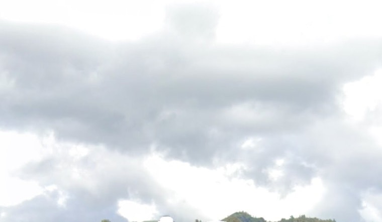
As we peek further into the week, that same low-level trough is anticipated to hike the probability of downpours as it moseys westward across the state. Adjust those outdoor plans accordingly, because the high pressure area, generally a calming influence, is taking a backseat for a few and cloud aficionados are in for a treat—8,000-foot high ceilings worth—to be precise; however, the trade winds are expected make a comeback, restoring a sense of weather normalcy as the weekend nears.
Boating and flying should be relatively smooth sailing with few navigational hiccups expected; "VFR conditions are expected to prevail, however, brief MVFR conditions cannot be ruled out with showers," the Honolulu Weather Service kindly reminds us, after all light and variable winds hold court until Henriette decides it's time to move on, by which time a ridge to the north tightens its grip gradually resurfacing those moderate trade winds by Tuesday, yet it's the trough's turn to stir the pot, leisurely dipping the wind speeds later on as the week wears on; hence, seafarers and pilots take heed.
For those who live to chase waves or at least watch them from a safe vantage point on the beach, prepare to either ride or witness some high surf on the south shores, carrying on through Monday afternoon—an extension of the High Surf Advisory is proof enough that the ocean isn't playing around. While the excitement may ebb a bit after Henriette's curtain call, don't pack away those surfboards just yet; background pulses might still be a-calling to south shore surfers into the coming weekend.


