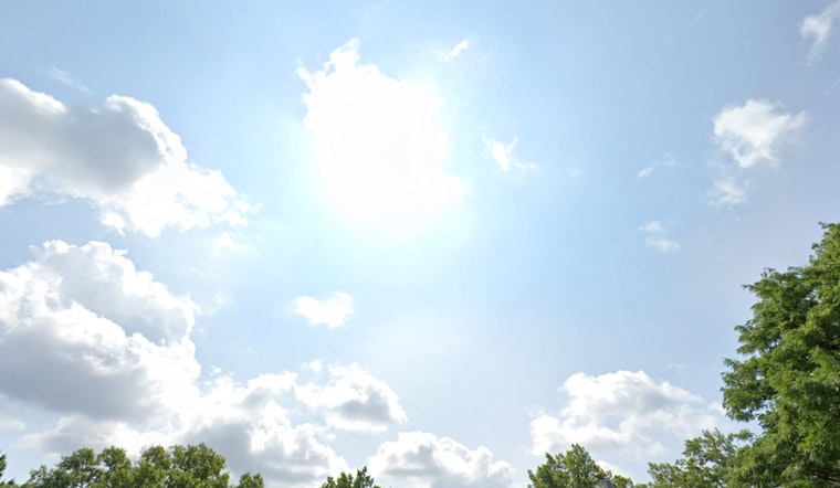
The National Weather Service in Washington D.C. has reported a forecast that promises to bring a mix of sunny skies and potential thunderstorms over the coming week. According to the latest updates, today will remain sunny, with temperatures peaking around 87 degrees. The evening is set to be mostly clear with lows dipping to around 65 degrees.
As we look ahead to Monday, the sun will continue to shine brightly, dominating the skies with a high near 89 degrees. Light winds from the southeast are expected to gently make their presence known in the afternoon. The trend of clear skies at night persists, with Monday's low settling around 70 degrees. However, we must prepare to potentially seek cover come midweek, as the chance of showers and thunderstorms enters the forecast on Wednesday afternoon.
Temperatures are predicted to climb as we approach Tuesday, soaring to near 93 degrees under mostly sunny conditions. Calm winds turning south will accompany the heat as the day progresses. The trend of peaceful nights will likely hold, with Tuesday night's weather mostly clear with temperatures hovering around 74 degrees.
Wednesday and Thursday both offer a glimpse of change, each bringing a 30 to 40 percent chance of showers and thunderstorms in the afternoon. Despite the risk of precipitation, daytime highs are expected to remain high, with Wednesday likely to hit near 95 degrees and Thursday close behind at around 91 degrees. For those planning evening activities, it is worth noting that storms may carry on until 8 p.m. on both days.
Looking towards the weekend, the chance of showers persists, though mostly sunny skies will likely still make for a warm and pleasant outdoor experience. Highs are forecasted to be near 90 degrees. Nighttime conditions for the latter part of the week also include opportunities for rain, with lows consistently around 73 degrees. The full details and updates of this forecast can be found on the National Weather Service website.


