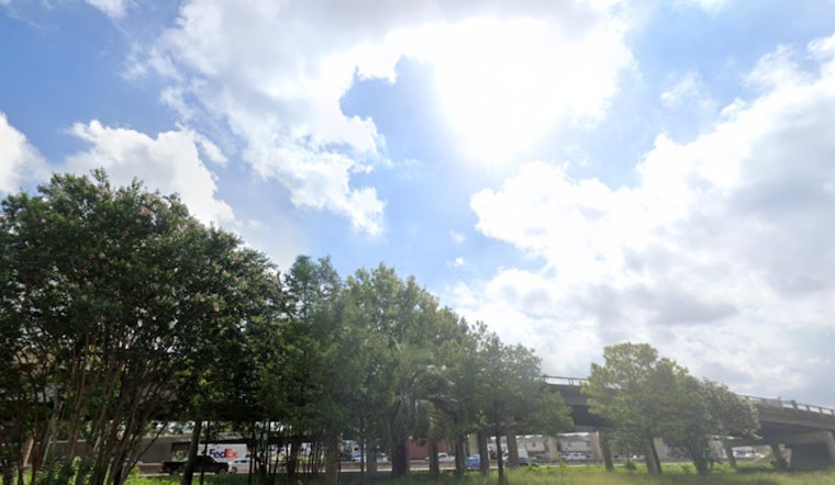
Houston residents can expect a pleasant mix of weather in the coming days, according to recent reports from local sources. The National Weather Service forecasts clear skies with temperatures nearing the upper 80s and low nighttime lows around the upper 60s to low 70s. Meanwhile, a cool front has already introduced calmer conditions, bringing with it a respite from the higher humidity levels typically experienced.
Friday's outlook predicts a high in the mid-80s, with the morning starting off in the delightful 60s. Despite the front being weak and the dry air's slow ingress, the unmistakable shift towards autumn is welcomed by many looking forward to outdoor activities without the stifling humidity. As reported by KPRC 2, "It might not be chilly enough to dig out your Ugg boots, but that doesn’t mean you can’t sip your PSL while walking the kids to school or hitting the park in the mornings over the next couple of days."
On the tropical front, Gabrielle has diminished to a post-tropical cyclone heading towards Portugal, and with Tropical Storm Humberto churning 500 miles east-northeast of the Northern Leeward Islands, attention has now shifted to a brewing tropical wave near Puerto Rico. According to KPRC 2, "A tropical depression is likely to form near the Bahamas late this week." While the systems currently show no signs of a Gulf Coast impact, Houstonians are urged to stay prepared during the ongoing hurricane season. Daytime highs will remain in the 80s, and mornings will feel cooler and less humid.


