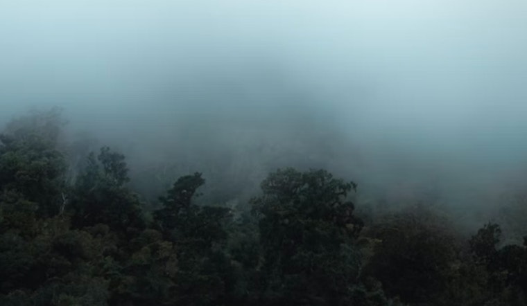
Milwaukee residents experienced reduced visibility this morning as a Dense Fog Advisory remained in effect until 10 AM CDT. The advisory covered Sheboygan, Milwaukee, and Ozaukee counties, with visibility dropping to a quarter mile or less at times. The National Weather Service noted that patchy dense fog may occur elsewhere this morning and could develop again later tonight into early Friday morning. Motorists were advised to slow down, use headlights, and maintain a safe distance from other vehicles.
Hazardous conditions are expected to continue with a chance of thunderstorms Friday night into Saturday. After the fog clears today, skies are expected to become mostly sunny with highs in the 70s. There is a 30 percent chance of rain and thunderstorms Friday night and Saturday, as per the National Weather Service.
For the coming days in east central, south central, and southeast Wisconsin, the forecast calls for mostly sunny conditions with daytime temperatures in the mid to high 70s and evening lows around the low 60s. The Hazardous Weather Outlook states that spotter activation is not expected.


