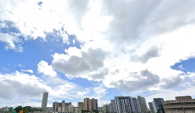
As the Hawaiian Islands settle into the new week, the National Weather Service (NWS) - Honolulu forecasts a mix of stable conditions and potential increases in shower activity. The presence of a high-pressure ridge to the north coupled with a weak low-pressure system to the southeast sets the stage for slightly invigorated trade winds through tomorrow, as per a recent report from the weather service.
While the dry summer weather is anticipated to continue with moderate to breezy trades, the pattern shift forecasts a drift towards wetter conditions beginning Tuesday. "A weak wave drifting westward through the low level easterlies increases clouds and showers across the islands," according to the NWS - Honolulu. The showers, favoring windward and mountain areas, may also spillover into leeward regions due to the strength of the trade wind interactions.
Unsettled weather is on the horizon from Thursday into the following weekend with the possibility of increased clouds and humidity. The NWS predicts that "a combination of deep easterlies up to around 18,000 feet will interact with subtropical jet stream divergence to enhance typical trade wind showers over all islands." It is suggested that temperature inversion heights hovering around the 7,000-foot elevation could bring isolated to scattered showers during the day and potentially more at night.
Aviation conditions remain generally unaffected, with no AIRMETs currently in effect though moderate to breezy easterly trade winds are expected through tomorrow. Mariners, on the other hand, should be aware of a Small Craft Advisory in place until 6 PM HST Monday for selected waters due to a somewhat tighter pressure gradient, which is contributing to moderate to locally strong trades.
In terms of surf, the north swell is projected to decline today, leading to waist high waves by late afternoon. A subsequent medium-period north swell is forecasted to arrive Thursday and may cause a slight increase in surf heights. For south-facing shores, surf levels should largely adhere to late summer norms with a small, longer period south swell sustaining waist-high waves.
Meanwhile, fire weather concerns persist today due to low humidity levels, with the biggest threats expected over the afternoons through Monday. From Tuesday into the weekend, the risk diminishes thanks to increased humidity in the afternoons. Temperature inversion heights near the Big Island and Maui are ranging from 5,000 to 6,500 feet, further influencing fire weather conditions today.


