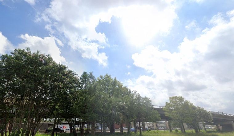
Houston residents woke up to a refreshing change Tuesday morning as temperatures dropped into the mid to low 60s, a scene not witnessed since the end of May. "It was a morning to remember across Houston," reported KPRC 2, as the cooler air provided a break from the city's typical muggy, warm mornings.
The National Weather Service forecasts indicate that while today will remain sunny with a high near 88, temperatures are expected to quickly climb back up. Houston can look forward to a high near 92 by Wednesday and rising humidity levels will soon to make the city feel warmer. Despite this slight break in the heat, "no rain is expected to disrupt daily plans," KPRC 2 noted, suggesting residents should make the most of the current weather conditions.
For those hoping that the fall-like weather might signal an early departure from Houston’s summer heat, the forecast seems to suggest otherwise. The National Weather Service details a steady rise in temperatures, with sunny skies and a high near 92 degrees for Thursday, accompanied by a reemergence of humidity.
In terms of tropical weather activity, Houston appears to be in a calm phase despite being at the statistical peak of hurricane season. "No tropical development is expected in the Atlantic over the next week," according to KPRC 2, which is unusual for this time of year when storm activity typically increases. However, residents are still advised to stay prepared and are referred to the station's 2025 Hurricane and Flood Survival Guide for more information.
Completing the picture for the rest of the week, expect temperatures to remain warm with highs in the upper-80s to low-90s as per the National Weather Service forecast. The evenings will be Mostly clear, offering Houstonians the chance to enjoy nighttime outdoor activities in comfortable conditions. The city will also have to wait a bit longer for any hope of rain, as none is expected in the 10-day forecast period.


