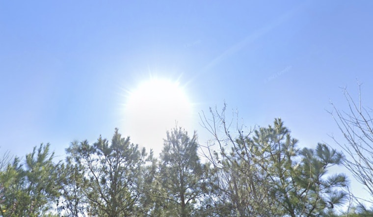
Following Wednesday’s stormy weather, Houston is expected to experience a warm and less humid pattern. The National Weather Service reports that today’s forecast includes mostly sunny skies with a high around 88 degrees, accompanied by a light northwest wind at 5 to 10 mph.
The city is transitioning from its recent stretch of unusually high overnight temperatures to more typical late-fall lows. The last notably humid morning occurred at Bush Intercontinental Airport, where temperatures stayed just under 80 degrees—coming close to a longstanding record from 1945, according to the Houston Chronicle.
Following the cold front, Houston is forecast to experience sunny days with high temperatures reaching the upper 80s and nighttime lows around 69 degrees. The front is expected to keep humidity levels low through the early part of next week. As reported by the National Weather Service, weekend mornings will likely bring temperatures in the mid to upper 60s, with some outlying areas possibly dropping into the 50s.
Although the approaching cold front won’t bring a significant drop in temperatures, the lower humidity is expected to make the upper 80s "feel even more tolerable," particularly for those spending time outdoors. As noted by the Houston Chronicle, "a forecast temperature around midday Friday of around 85 degrees may actually feel closer to 82 or 83 degrees given the drier air that will be in place."
Looking ahead, Houston will see a continuation of mild weather conditions. High temperatures may remain near 90 degrees through the weekend, with lower humidity levels contributing to more stable conditions.


