Las Vegas residents should keep their umbrellas close, as the National Weather Service in Las Vegas, NV, forecasts potential precipitation through the weekend, with continuing chances into early next week. As reported by the NWS, this wet weather spell is due to an upper-level disturbance interacting with an influx of moisture; however, specifics such as timing and impacts are still uncertain.
Current satellite imagery shows an upper-level low off the central California coast, generating thunderstorms over the San Joaquin Valley. The system is expected to move eastward into Nevada today before shifting south toward Southern California and Arizona tomorrow. Regional moisture levels are measuring between 0.5 and 1 inch, which could trigger afternoon showers and thunderstorms under favorable conditions. However, the outcome remains uncertain due to the still undetermined strength, position, and speed of the low, as well as potential cloud cover that could suppress storm development.
Today, residents of northern Inyo County, the southern Great Basin, and northern Mohave County should be alert for precipitation due to favorable upper-atmospheric conditions. Tomorrow appears more likely to bring rain to northwestern Arizona, where the low and the greatest concentration of moisture are expected to converge.
Over the weekend, the low is set to continue its trek eastward across the lower Colorado River on Saturday and over Arizona on Sunday, which could usher in even more moisture from tropical sources. There's a possibility of increased shower and storm activities for most locations on both days, but forecasters are hesitant to call it a sure thing just yet, according to the NWS discussion. As for the start of next week, it's anyone's guess on how things will play out with the exiting low and lingering moisture. The one silver lining to this atmospheric puzzle is the prediction of near to below average temperatures for the region as we head into early October.
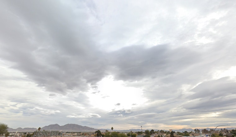
Aviation-wise, Harry Reid can expect light and variable winds shifting to light northeasterly breezes, which will then change to southeasterly and eventually southwesterly gusting around 20 knots come mid-afternoon. Pilots should be wary of potential erratic gusty outflows if those thunderstorms do decide to show up. VFR conditions will prevail with FEW to SCT mid-level clouds around 10 to 12 kft expected to develop in the higher terrain surrounding the valley, as stated by the NWS. Spotters in the region are nudged to report any noteworthy weather or impacts as this dynamic weather system plays out.


