Las Vegas residents can expect to enjoy a few more days of warm, dry weather, as per the latest forecast. But for those longing for a break from the heat, there's a hint of relief on the horizon with a chance of showers and thunderstorms later in the week. According to the National Weather Service, wetter conditions are possible starting Thursday and continuing through the weekend.
While the current skies over the region remain clear, the calmness is anticipated to shift. As stated by the NWS, chances for showers and thunderstorms will increase Thursday through the weekend, though details such as coverage and rainfall amounts remain uncertain. This uncertainty hangs in the balance as meteorologists keep an eye on the remnants of Tropical Storm Mario, which has regained strength southwest of Cabo San Lucas and is forecasted to move northwest. The storm is expected to weaken over cooler waters by Wednesday evening but could still contribute to increased moisture in the Southern California coastal area.
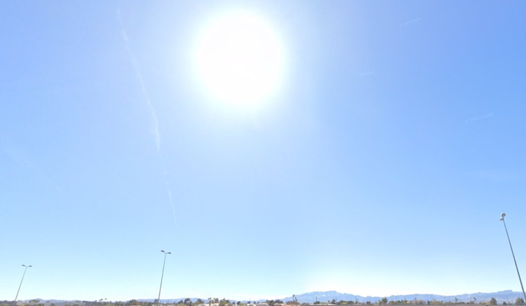
Aviators flying through and around Las Vegas should expect favorably clear conditions for now. The forecast for Harry Reid Airport indicates winds shifting from southwesterly to southeasterly with speeds remaining generally below 10 knots. Occasional gusts up to around 15 knots are possible, but the skies will stay clear with temperatures lingering below 100 degrees. Similarly, across southern Nevada, northwest Arizona, and southeast California, clear skies and mild winds will follow typical patterns, rarely exceeding speeds of 10 knots, though Owens Valley may see some afternoon gustiness.
Furthermore, the influx of moisture from Tropical Storm Mario is forecasted to spread across the region but questions about the impetus required to elevate the moist air to rain clouds remain unanswered. The main question remains whether there will be forcing to lift the moist air, as reported by the NWS. In practical terms, this means that precipitation levels could vary significantly, with the desert possibly receiving up to three quarters of an inch of rain, and mountainous areas facing the prospect of one to two inches. With the potential for significant weather shifts, local spotters are encouraged by the NWS to report any noteworthy meteorological events or impacts as they occur.


