Las Vegas residents, brace yourselves for a change in weather—a slight deviation from the usual dry heat is headed our way. The National Weather Service (NWS) has predicted an increase in moisture from the remnants of what was once Mario, which could result in showers and thunderstorms from Thursday through Friday. According to the latest forecast, the impending showers may lead to higher chances of flash flooding due to the potentially heavy rain.
The region has been under the gaze of tropical moisture knocking at our southern border, with satellite data showing cirrus outflow encroaching closer to our area. Dewpoints, the technical term for the measure of moisture in the air, have risen between 10 and 20 degrees Fahrenheit at several observation sites, indicating increased humidity. But not everything is set in stone; the NWS notes that "significant uncertainty" exists regarding the potential for sufficient sunshine that could lead to intense rainfall. Hence, they are holding off on issuing a Flash Flood Watch for now.
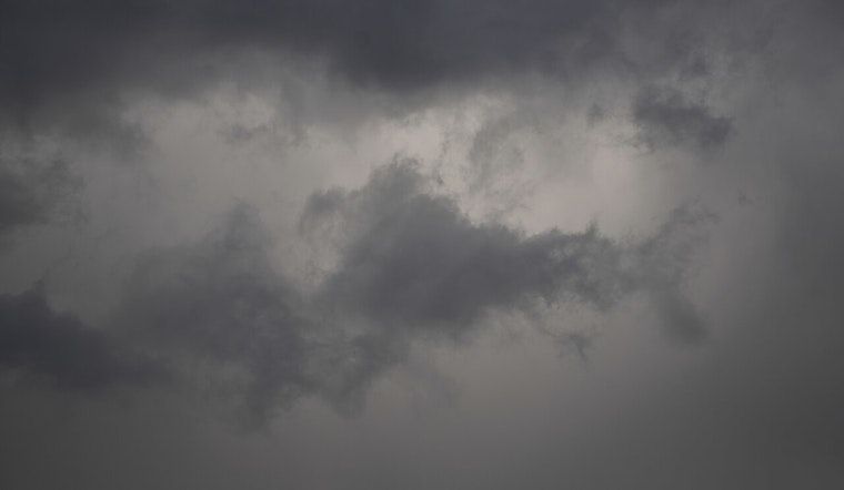
For aviation enthusiasts and professionals keeping an eye on the skies, expect to see light and variable winds today at Harry Reid International, with gusts potentially reaching 15 knots in the afternoon. Overnight, the pendulum swings to southwesterly winds which will continue through tomorrow morning. The forecast details a more cluttered sky throughout today, with increasing cloud cover as the sun sets.
Dryness and calm have been the day's creed for most of southern Nevada, northwestern Arizona, and southeastern California. The exception sits with KDAG, where gusty west winds are to pick up after sunset. For those in the southern Mojave Desert, there's a low percentage, between 5 and 10 percent, for rain and thunderstorms today. The forecast suggests that the chance for impact on local terminals increases tomorrow. Any storm activity could result in visibility drops, erratic winds, and the precarious dance of lightning.
The NWS urges its spotters to stay alert during potential severe weather. Spotters play a key role in providing real-time, on-the-ground reports that improve forecasts and warnings, keeping communities safe. If you're a trained spotter or a watchful resident, report any significant weather or impacts as they happen.


