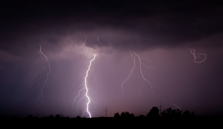
Las Vegas, brace for more stormy weather. The National Weather Service (NWS) has signaled that tropical moisture remains a persistent trigger for showers and thunderstorms in the area today. According to the latest forecast, the weekend will likely carry on with slight chances for more unsettled weather, with a continuing pattern of uncertainty into next week as additional tropical moisture could be siphoned northward.
The atmosphere remains charged — storms are still active as of this report. The NWS advises expecting additional storm development later this afternoon, especially near the mountains. As we head into the weekend, conditions point to a low-grade monsoon pattern, with storms forming over the ridgelines in the afternoons and dissipating after sunset. The developing cutoff low off the central California coast is the wild card for the coming week. As per the NWS, it could pull in more tropical moisture, bringing another round of showers and storms to the Las Vegas region.
For those with flights out of Harry Reid, wind conditions will start light and variable in the morning, but expect them to pick up in intensity throughout the day. The NWS forecast advises that the terminal could see isolated to scattered thunderstorms from late afternoon into the evening. After the sun dips below the horizon, wind speeds should taper back down, becoming light and variable as the sky begins to clear overnight.
Across the broader southern Nevada, northwestern Arizona, and southeastern California stretch, similar weather patterns are expected: isolated-to-scattered showers and thunderstorms may crop up again this afternoon with the highest probability of affecting terminals between late afternoon and evening, the forecast for KDAG, KEED, and KIFP, meanwhile not calling for significant thunderstorm activity so much so to factor them into the main TAF, and aside from these potential disruptions, standard diurnal wind trends should prevail, outside of any localized storm influences.
Spotter activity will remain important. The NWS is asking spotters to report significant weather or impacts using standard procedures to help provide a faster, more accurate response. Their observations offer valuable ground-level data that supports and enhances satellite and radar information.


.jpg)