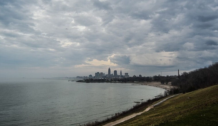
Ohioans, brace yourselves—weather shifts are in the works. The National Weather Service in Cleveland reports a low-pressure system drifting northeast towards James Bay, pulling a cold front across Ohio this Thursday morning. The Lake Erie area sees increasing west winds and potential thunderstorms stirred up by the change. Be advised, a Beach Hazards Statement is in effect through the afternoon, so beachgoers should be cautious of rough conditions.
Following the front's passage, drier air is expected to usher in some respite, though not for long, come Friday, merging warm fronts and a subsequent cold one promise to stir the pot once again with the added drama of gusting winds, the NWS Cleveland projectorial gusts may reach 25mph, even touching the 30mph mark in the western parts of the Cleveland Weather Forecast Office (CWA). Looking ahead, the weekend might offer a mixed bag as showers taper off in eastern Ohio, while lake effect rains could dampen the spirits in the northeast pockets of Ohio and northwest Pennsylvania from late Saturday night and persisting through Sunday night.
"Temperatures will be much cooler today than the past couple of days with the precipitation and highs only reaching into the mid 60s," said the NWS Cleveland in a statement, with an expected rebound into the mid 70s on Friday, courtesy the southerly flow. The chill returns over the weekend, with daytime highs clinging to the mid-60s and nighttime lows dipping into the low to mid-40s.
As we peer ahead into the long-term forecast, there's a light at the end of the tunnel, with ridging over the central US and a comforting eastward push of high pressure on Monday over Ohio River Valley, which is expected to clamp down on the rain clouds through midweek, those planning to take to the skies, take note, the aviation forecast suggests a shift back to VFR conditions post-thunderstorms, with the possibility of non-VFR cropping up again Friday night into Saturday, and again with lake effects in play on Saturday night through Sunday for the northeast Ohio airspace.
In marine news, the waters are rough with a current Small Craft Advisory in effect until late afternoon, and though storms may add a flare-up over Lake Erie's conditionally unstable waters this morning, conditions should simmer down as the day progresses. Another system, however, looms for Friday, with low pressure and cold fronts promising winds up to 30 knots and the potential for gale force winds, sailors and water enthusiasts must keep abreast of the situation. For the latest updates, be sure to check the NWS Cleveland's forecast page.


.jpg)