As summer gives a final nod, folks in Orlando might want to hold on to their raincoats a bit longer. According to the National Weather Service Melbourne FL, there's a mix of good and bad news for those hitting the beaches or planning late-summer outings. High rip current risks are causing a stir at St. Lucie and Martin county beaches today, with moderate risk levels echoing along the coasts of Volusia, Brevard, and Indian River counties, reports indicate.
But it’s not just the surf that's getting testy. The skies, too, are prepping for a showdown, particularly across the Treasure Coast, where locally heavy rainfall might interrupt the day's plans. There's a shout-out for a "Marginal Risk of Excessive Rainfall" over parts of the Treasure Coast, Okeechobee, and Brevard Counties today. Residents and visitors alike should be prepared for the possibility of minor flooding, courtesy of those tenacious, slow-moving showers.
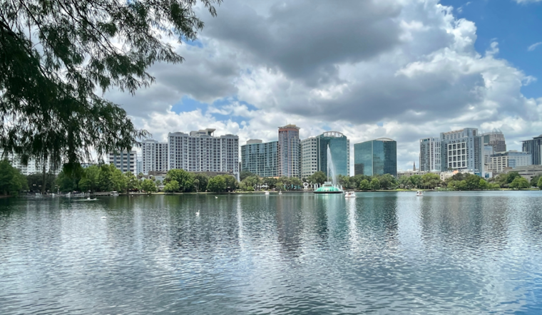
Those planning to spend their days outdoors, rest assured, temperatures are playing it cool — sticking near to slightly below normal this week, with a side of increased cloud coverage and higher chances of rain further south. The skies might open up with a 50-70 percent chance of rain and lightning storms stretching from Brevard to Orange Counties this afternoon into the evening. The usual suspects are on the list of potential hazards: "frequent lightning strikes, gusty winds of 40-50 mph, and locally heavy downpours," the National Weather Service Melbourne FL advises.
As we roll into Friday and the weekend, don't expect Mother Nature to cut us any slack. The weather narrative includes greater rain chances with the same old song and dance of lightning, gusty winds, and, yes, more heavy downpours. The weather pattern seems rooted, with weak steering flow aloft combined with the higher moisture, which may, in fact, set the stage for more training activity — another round of showers that could lead to more minor flooding situations.
For the mariners among us, the seas are fairly agreeable. A forecast from the National Weather Service points to favorable boating conditions prevailing into next week, with northeast winds nudging a little easterly as the week wears on and seas rolling at a manageable 3-5 ft. Showers and storms, those unwanted guests, look to stick mainly to the Gulf Stream and southern Treasure Coast waters through today, according to forecasts.
For aviators, it's largely clear skies with the occasional shower or thunderstorm potentially dropping visibility. The winds are sticking to a rather consistent 10-15 kt, so nothing too out of the ordinary there. That said, higher chances for showers and storms are spotlighted south of Melbourne, so keep an eye out and maybe keep those flight plans flexible.
Overall, while there are no major cautions or advisories to speak of, it seems like Orlando and its environs are in for a classic Florida weather roulette. Prepare for rain, occasional storms, and perhaps take this chance to enjoy the cooler-than-average temps. If you're out there on the water or taking to the skies, stay informed and stay safe.


.jpg)