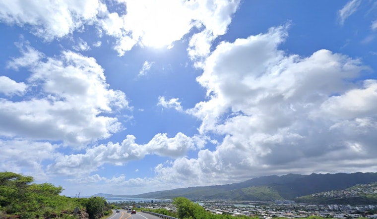
Honolulu is set to experience a blend of pre-storm calm and potential tumult courtesy of Tropical Cyclone Kiko, according to the latest weather briefing from the National Weather Service (NWS) Honolulu. Residents can expect "partly cloudy and warm" days ahead, combined with "light to moderate trade winds," keeping the weather stable for the most part until Kiko's anticipated arrival early next week. The NWS also suggests that an "area of enhanced moisture" will make its presence felt by Sunday, increasing precipitation across all islands. Islanders are advised to watch for rain, particularly in "windward upslope mauka and within higher terrain."
As Kiko inches closer to the archipelago, it brings a fair amount of uncertainty regarding its path and intensity. Forecasters are keenly observing the support of an upper ridge to the weather scenario, which could play a role in weakening Kiko as it ventures northward around Monday through Wednesday. The approaching storm, currently moving west at roughly 10 mph, could enter the "eastern offshore waters" late Monday, though its trajectory remains somewhat unpredictable. The NWS Honolulu stated, "There is a fair amount of uncertainly that exists concerning Kiko's eventual track, intensity and possible impacts." Islanders should keep an eye out for updates and be prepared for "greater areal rain or more frequent shower behavior" early into the following week.
In aviation, the outlook remains primarily visual flight rules (VFR), with the ongoing light to moderate trade winds expected to ease with Kiko's approach, bringing more localized weather phenomena into the picture. The marine forecast mirrors this calm before the storm scenario; modest trade winds sail through tonight, before a "weak trough" beckons a gentler breeze and potential sea breezes across Hawaiian waters. Surfers should note the anticipated rise in east shore swells as Kiko makes its approach, potentially hitting high surf advisory criteria by Monday and warranting caution.
On the fire weather front, although conditions are elevated, they are not hitting critical thresholds. Humidity levels should rise with the increased moisture come Sunday, and rain coverage along with intensity may go up "over many windward exposures early to mid next week," as per the NWS. In anticipation of coastal flooding, a Coastal Flood Statement has been stretched through Sunday afternoon, warning about higher-than-predicted water levels affecting shorelines and low-lying areas.


