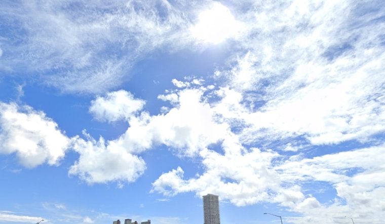
For those keeping an eye on the skies, Honolulu's weather appears to be on the gentle side for the early part of the week, with a high-pressure ridge bolstering moderate to breezy trade winds. According to the National Weather Service's Honolulu forecast, expect stable conditions today and a slight upswing in showers starting tomorrow as deeper moisture moves closer to the islands.
As reported by the NWS, the high-pressure area north of Hawaii and a leisurely westward-moving low pressure south of the islands are keeping things stable. Despite the steady weather, locals should prepare for an uptick in showers and cloud cover late in the week. The model guidance suggests that the anticipated frontal system descending from the Gulf of Alaska might stir things up by Thursday, pinching off deeper moisture and directing it Hawaii's way, with showers expected to spill into leeward areas.
In terms of aviation, the forecast period holds steady trade winds and mostly clear skies, with a smattering of showers that could lead to brief MVFR (Marginal Visual Flight Rules) conditions, as stated by the NWS. Nothing more disruptive like AIRMETS, which indicate more severe weather disturbances for aviators, is forecasted in the coming days.
Over at sea, the conditions are windy enough to necessitate a Small Craft Advisory for the more turbulent channels and waters around Maui and the Big Island until 6 PM tonight. Waves on north-facing shores are settling down, but another swell due Thursday might mix things up again. For those heading south, surf should hold near September averages, fluctuating with small bumps through the week, while east-facing shores will continue to ride on the typical trade wind-generated waves.
Back on land, fire weather concerns are diminishing, according to fire officials, with lower humidity and winds easing below critical levels. So while breezes might lend themselves to kite-flying or wind-surfing, they're becoming less of a worry for sparking wildfires.


