The weather script for the Cleveland area reads like a promise of serene autumnal days. With a robust high-pressure system bearing down from the Northeast, Clevelanders are informed they should prepare for an imminent drop in mercury. Today's daytime highs will skim just the 70s, while inland regions may feel a nip in the air, upper 60s expected, beckoning a change of seasons that whispers of winter's eventual return, according to the National Weather Service's latest forecast.
As we quickly grab our heavier layers, tonight's dive is even starker, with a palette of 40s spread across the region. Interior spots in Northwestern Pennsylvania and Northeastern Ohio could even see temperatures cheekily flirting with the mid- to upper 30s. The National Weather Service has kept confidence low in a frost advisory owing to possible cloud cover and "elevated winds overnight, which would work to inhibit radiational cooling and subsequent frost development."
These crisp conditions are but a temporary chill for those clinging to the waning warmth of early fall. The mercury is expected to bounce back by Thursday, with the area bathing in widespread 70s, and some areas might even peak at the low 80s. This balmy restorative will be cherished through the weekend as the high-pressure system appears to stubbornly hover over the region, ensuring a dry spell with temperatures nudging gradually upward. Highs may ascend to the mid-80s on Saturday.
The seamless stretch of clear skies is due to endure from Sunday to Monday, with seasonal norms of the 80s anticipated to prevail. However, early next week is slated to shake things up a touch. The service advises that a cold front is set to parade through on Tuesday, likely to return with scattered showers. Though these showers seem timed to arrive late Monday night, the best times to witness this refreshing bout are Tuesday. The National Weather Service foreshadows "afternoon temps will be above normal in the 80s Sunday and Monday with slightly cooler temperatures possible on Tuesday."
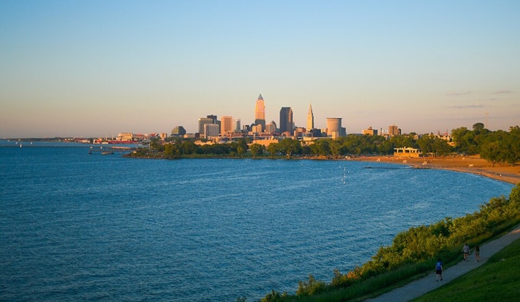
Meanwhile, Lake Erie mariners and beachgoers take heed: "Small Craft Advisories" and "Beach Hazards Statements" are in full sway until late tonight, the National Weather Service has cautioned. These advisories alert to gusty East to Northeast winds, 15 to 25 knots, to be exact, whipping up waves as high as 7 feet today into this evening. Counsel for the prudent: you might want to securely dock that boat and give those waves a respectful berth for now.


.jpg)