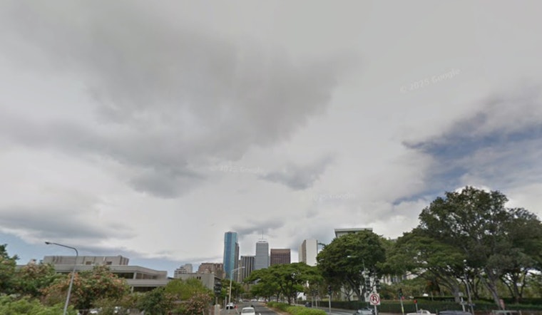
Honolulu residents can expect a mix of clouds and sunshine with the chance of some passing showers and breezy conditions over the next few days, as noted in the latest forecast from the National Weather Service in Honolulu. The NWS predicts "partly to mostly cloudy conditions with intermittent rain," which could include "isolated thunderstorms" near Kauai and Oahu, especially in their coastal waters today. A cold front is predicted to approach, causing a slight weakening of trade winds tonight through tomorrow, but the winds are expected to pick up again later in the week as high pressure moves eastward from the north.
According to an early morning update from the NWS, skies have been dominated by "a wide array of various level clouds," leading to erratic weather patterns over the Hawaiian Islands, while Kauai has seen the brunt of overnight rainfall with "a quick one to two inches and responding streams." The looming cold front has started to stall to the northwest of the islands and, although higher atmospheric ridging is attempting to fend off the moisture, an organized trough is forming, preparing to steer cooler air across the region, potentially setting the stage for "isolated thunderstorms." The atmosphere is expected to destabilize, a result of cooler air aloft meeting with warm, humid lower-level air, residents should be aware of the increased chances of heavy rainfall and lightning, primarily in the northern coastal waters, but there's also a slight chance that Kauai or Oahu could catch the edge of a maritime storm.
As the trough deepens, there's a possibility it could lead to the formation of a cut-off upper-level low to the south of the islands by Thursday, which may shift the focus of more widespread rain and thunderstorms further away from the state. In the meantime, most inhabitants of the Hawaiian Islands will likely see "a partially to mainly overcast Tuesday through Thursday," with the prevalent trade showers appearing along windward slopes and higher terrain. Despite the showers, fire weather conditions are expected to remain below critical thresholds. The NWS forecasts lower-level humidity will persist, coupled with gentler trade winds and temperature inversion heights ranging from 4,500 to 6,500 ft, working in unison to lower the risk.
Looking ahead to the weekend, forecasts suggest a drier trend with eastern steering winds but warn that cloud cover might still persist, and an early November cold front pushing toward the northern waters could shift the winds to a more northerly direction by Sunday. While models don't fully agree, there's an acknowledgment of an increased probability of areawide rain in the north early next week tied to a converging lower-level trough or front lingering in the vicinity of the islands. As for now, no advisories or warnings are in place, a sign that while the weather may prove fickle, it does not seem to pose a significant threat at this moment. For more details, visit the National Weather Service's Honolulu forecast website at NWS Honolulu.


