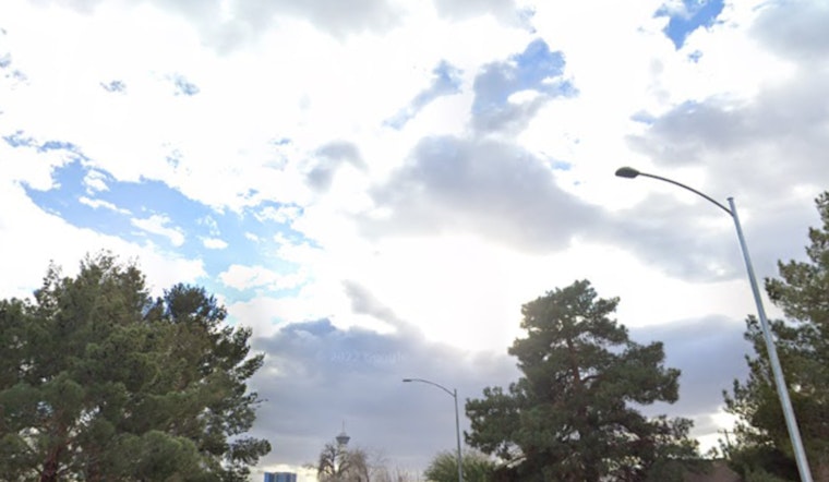
Las Vegas will see changing weather this week. Temperatures will rise through midweek as "high pressure builds across the region." Later in the week, a tropical system and an upper-level trough approaching the West Coast could bring a chance of rain and unsettled conditions, according to the National Weather Service.
Warmer conditions are expected, with temperatures rising "a few degrees above normal Wednesday," and "locally breezy northerly winds" likely today and tomorrow as high pressure interacts with the local terrain. However, "forecast guidance remains uncertain on how to handle the remains of Hurricane Priscilla in the Eastern Pacific," which could influence the region’s weather from Thursday onward. Some models indicate minimal impact if the system moves out to sea, while others suggest its remnants could move northward, bringing "heavier and more widespread rain totals." Overall, "increasing rain chances are expected during the Thu - Sun time period," as reported by the National Weather Service.
Around Harry Reid International Airport, conditions are expected to feature "mostly clear skies with light winds," though a "stronger northeast push arriving into the Las Vegas Valley" could bring gusts up to 20 knots after 03z tonight. While wind speeds may vary between 10–15 knots, "confidence remains low at this time," and pilots should anticipate changing conditions. The National Weather Service advises spotters to "report any significant weather or impacts according to standard operating procedures," reinforcing the role of local observations in monitoring this developing pattern.


