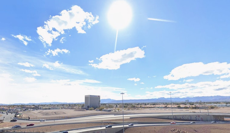
Residents of Las Vegas, brace yourselves for a continued stretch of warm autumn days. As reported by the National Weather Service, the trend of dry conditions and temperatures above the seasonal average is set to carry on throughout the upcoming week. The forecast, issued early this morning, indicates highs reaching into the low 80s, with Las Vegas morning lows hovering comfortably in the upper 50s to low 60s.
While the region enjoys clear skies and warmth now, uncertainty looms in the coming days, forecasting a potential shift in the weather pattern. A trough of low pressure, edging eastward from the Pacific, threatens to thrust cooler air, gusty winds, and a splash of precipitation over parts of the Sierra. Despite arising mid-to-late next week, forecasters with the National Weather Service say details about the system's potency will "become more apparent with upcoming forecasts."
Aviation interests for Harry Reid International Airport and surrounds will not face major disruptions owing to current conditions. The National Weather Service's Aviation Forecast promises continued visibility under VFR conditions, with the only noteworthy remark being the passage of high clouds. Wind activities will adhere to typical patterns, not surpassing thresholds of 8 knots at the airport, maintaining the status quo for flight operations.
Pilots navigating the broader airspace over southern Nevada, northwest Arizona, and southeast California can equally expect agreeable flying weather. The forecast predicts that light winds will follow "typical patterns," and speeds should remain at or below 10 knots. Such winds, brushing lightly across the skies, will not stir more than the occasional swirl of dust across the desert floor. The region's spotter community remains on standby, ready to report any unexpected or significant weather events, as is their practice.


