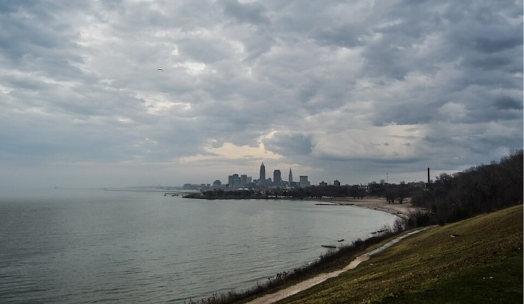
The National Weather Service in Cleveland has provided an update for the area's weather forecast, advising occupants of Northeast Ohio and Northwest Pennsylvania to expect continued scattered lake-effect rain showers today. According to the NWS Cleveland, this weather effect is due to a weak west-northwest flow of cool air over the Great Lakes region, with showers mainly hitting the snowbelt region. Rain accumulations in Erie County, PA, could reach upwards of an inch.
These conditions also bring forth cooler temperatures across the region. While this morning has seen milder temperatures than forecast due to extensive cloud coverage and light winds, frost formation has been deemed "very unlikely". However, high pressure expected to build in the region tonight could lead to cooler conditions and frost advisories for parts of Northwest Ohio and Central Ohio, barring the extent of continued cloud cover, which maintains some uncertainty, as per NWS Cleveland.
As we move into the weekend, the high-pressure system is set to drift northeast. Yet, the chilly atmosphere is predicted to hang around, possibly prompting additional frost or freeze warnings on Saturday night and maybe into Sunday night. Forecasters note there's uncertainty regarding the cloud cover during this period.
Looking ahead to Monday through Thursday, high pressure focuses on Quebec with its reach extending into the Great Lakes. A trough anticipated over the central CONUS could spell scattered rain showers for the Ohio Valley mid-week. "There is some uncertainty with timing/strength of this synoptic features (and its subsequent effect on the local weather), but the general idea is for there to be scattered rain showers as early as Monday night and Tuesday and persisting through Wednesday and Thursday," the NWS Cleveland states. Despite the expected precipitation, temperature profiles will likely remain steady with highs in the mid-50s.


.jpg)