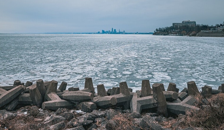
The National Weather Service in Cleveland has issued a forecast that's shaping up to be the perfect storm for Thanksgiving travelers. High pressure is moving out, and a low-pressure system is barreling in, bringing with it a variety of weather hazards that go beyond your standard November gloom. From heavy rain to snow transformations, gusty winds to plummeting temperatures, the Great Lakes region, especially Cleveland, is in for quite a ride.
Starting with rain showers this morning, the weather is expected to escalate swiftly. "Storm total rainfall is expected to be between 0.25-0.5 inches through this evening," the National Weather Service stated. But it's not just the rain that's raising alarms. By early Wednesday, a strong cold front moves through, and that's when we'll start seeing the season's shift. As the temperatures fall throughout Wednesday, with "high temperatures on Wednesday will be reached early in the morning with widespread mid to upper 40s forecast," the NWS explains, rain is set to morph into a rain/snow mix, eventually becoming all snow by evening. Roadways could quickly turn icy, thanks to the rapid cooldown.
But it's not just the snow that has the NWS concerned. Winds, potentially reaching up to 45 mph, could lead to not just a nuisance but power outages and hazardous travel conditions. "Given the complexity and multi-hazard nature," the NWS warns, the Thanksgiving travel this year looks potentially perilous. They urge residents to stay updated with forecasts as details crystallize and stress the importance of a winter weather kit for those who must travel.
Lake effect snow is another headline grabber in this meteorological mash-up. By Wednesday night and heading into Thursday, the lake effect enters the chat, with snowfalls over eight inches expected across the Ohio snowbelt. And to add insult to injury, the chill doesn't stop there; temperatures are likely to linger in the low to mid 30s during the day with "overnight lows will gradually decrease from lows in the low to mid-20s on Wednesday night to lows in the upper teens to low 20s by Friday night," per the airline advisory.
And in marine news, the Gale Warning flag is flying high, signifying that boaters will face a tempest of their own as southwest to west winds boom across Lake Erie at potential storm force. The lake's weather outlook doesn't get much brighter until Saturday, when high pressure might offer a brief reprieve amid an otherwise active, messy weather pattern.
Cleveland residents and visitors are starkly reminded that winter is not coming—it's here, and it's bringing more than just a dusting of snow. Thanksgiving travel plans should be reevaluated, and hunkering down might just be the best recipe for safety this holiday season.


.jpg)