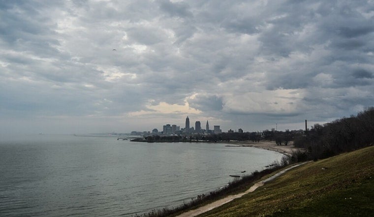
Residents across Cleveland are bracing for a varied mix of weather conditions over the next few days, as a warm front brings rising temperatures followed by a cold snap that is likely to result in lake-effect snow. According to the National Weather Service in Cleveland, the warm front is expected to push through the region on Saturday morning, potentially bringing rain showers, especially east of I-71, and unseasonably warm temperatures in the mid-to-upper 60s in northwest Ohio.
However, the mild weather isn't set to last; as the cold front traverses southeastward by Saturday evening, it could spur isolated to scattered thunderstorms, with a "Marginal Risk" for severe weather still in place for southeastern zones. "A few models are hinting at some mid-level dry air working into the area just ahead of the cold front this afternoon, which could allow clouds to clear just enough for a narrow corridor of destabilization," reported the National Weather Service. Wind speeds are also expected to peak at 30 to 40 mph through Saturday night.
As Sunday rolls in, the mercury is set to drop with highs in the upper 30s to lower 40s in the snowbelt region by day, and lake effect precipitation that could manifest as a mix of rain and snow. The likelihood of accumulating lake effect snow increases from Sunday night into Monday, especially near the Pennsylvania-New York border, where up to five inches could accumulate in some places. Residents are encouraged to stay tuned for potential Winter Weather Advisory updates from the NWS.
The blustery conditions are expected to make their presence felt on Lake Erie as well. "NW winds of 20-30 knots will continue through Sunday before gradually diminishing to 20-25 knots late Sunday night and 10-15 knots by late Monday," the National Weather Service warned in their marine forecast. Small Craft Advisories are already in effect for portions of the lake, a testament to the potent weather system's impact.
Looking ahead to the middle of next week, high pressure is expected to bring a respite with dry weather starting Wednesday. However, the weather could return late Thursday into Friday with the next system poised to bring rain. With weather situations like these displaying both volatility and complexity, the importance of regular forecasts and updates is once again underscored for the safety and preparedness of those in the affected regions.


.jpg)