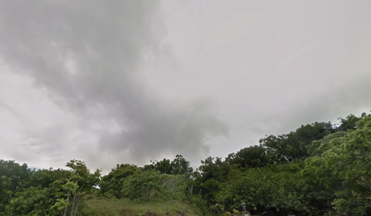
Residents in Honolulu experienced a wet start to their morning amidst mostly overcast skies and light trade winds, according to the NWS Honolulu Forecast. The damp conditions are expected to taper off into Saturday with a return to typical trade wind weather patterns, promising windward showers and the occasional drizzle stretching into the lee areas over the weekend. A more significant wet period is on the horizon for mid next week as Hawaii anticipates increased moisture from the south.
“The island chain is experiencing light to moderate showers, with about a quarter inch of rain since midnight. Clouds from the southwest will keep skies mostly cloudy, and a jet stream trough may bring more showers. Temperatures will stay mild, with light easterly breezes through the afternoon and evening.
The aviation sector has been given advisories, with the AIRMET Sierra in effect for areas from Molokai to Kauai due to temporary mountain obscuration from low cloud decks and precipitation, cautioning that these conditions will persist through early Saturday morning. Additionally, turbulence advisory AIRMET Tango remains effective on the lee side terrain at least until Saturday morning, as cited by NWS reports.
Maritime interests have also been advised of easing trade winds and updated swell information. The Small Craft Advisory is in place until 6 AM HST Saturday for several regions, reflecting the current weather state. Meanwhile, northwestern swells are set to maintain surf heights at or near High Surf Advisory levels over the weekend, with a potentially larger northwest swell projected around next Wednesday. According to the forecast, while surf along east-facing shores will decline as the winds weaken, south-facing shores will experience minimal changes with only tiny background southerly energy expected.
For wildfire-prone areas, critical fire weather is not expected through the weekend. Humid trade winds will keep fire risk low, with rainfall decreasing by early Saturday and stable conditions continuing into early next week.


