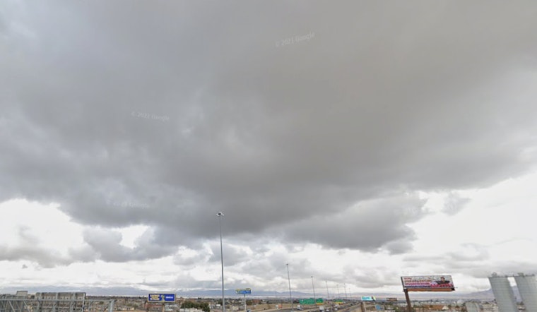
Las Vegas is bracing for a drop in temperatures and an incoming bout of precipitation, as per the National Weather Service Las Vegas, which has forecast snow for the Sierra and rain for the valleys this morning. The latest update suggests temperatures will fall 6 to 10 degrees with the approaching weather system, leading to widespread precipitation chances over the weekend.
The forecast also indicates a continuous active weather pattern including more rain and mountain snow throughout next week, with the current system expected to bring light mountain snow and valley rain across the forecast area, with measured precipitation between 0.01 to 0.04 inches observed across San Bernardino and Clark counties so far. Various areas are expected to experience a short respite from rainfall around sunset even though the winter weather advisory for the eastern Sierra Slopes will remain in effect until 10 AM PST.
This weekend, a closed low associated with the system is expected to bring even lower temperatures and increased moisture to the region. According to the NWS, this will likely result in minimal rain shadowing. They also note the potential for periods of moderate to heavy rain with occasional lightning, particularly across southeastern California and southwestern Nevada. A flood watch is in effect in these areas as a precaution.
For aviation, travelers flying out of Harry Reid International Airport may encounter reduced visibility in rain or mist with ceilings falling potentially below 5,000 feet starting tomorrow morning, while the southeast winds could gust between 20 to 25 knots – unusual southeasterly winds gusting 20 to 25 knots could be seen in Mohave, San Bernardino, and Clark counties. Weather enthusiasts and community spotters are advised to stay alert and report any significant weather events following standard procedures.


