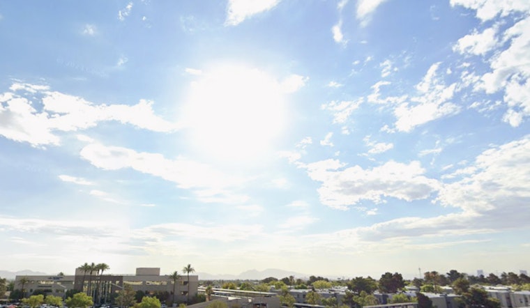
Las Vegas is currently experiencing warmer-than-usual temperatures, which are expected to persist through tomorrow, according to the National Weather Service Las Vegas. The region's weather forecast indicates light winds and dry conditions, with temperatures hovering around 6 to 10 degrees above normal. Meteorologists attribute this warmth to higher-than-normal 500 mb heights.
However, as the week progresses, the weather is set to change. Winds will increase and temperatures will decrease in the middle of the week as a low pressure system moves through the Great Basin, as reported by the National Weather Service. During this transition, the Owens Valley and eastern Sierra are expected to experience the brunt of the weather change, with potential peak wind gusts ranging from 40 to 55 mph.
The forecast also notes that there's a chance of light precipitation for the eastern Sierra Crest on Wednesday. Although the precipitation is likely to be minimal, with expected liquid totals of 0.20 inches or less, a dusting of snow is also possible. As the low pressure system rolls through, temperatures are anticipated to return to more typical seasonal values by Thursday.
Aviation conditions are projected to remain favorable, with VFR conditions will prevail, with FEW to SCT high clouds with bases AOA 20kft AGL through tomorrow morning, as per the National Weather Service. Light winds are set to follow typical diurnal patterns during this period in the region around Las Vegas's Harry Reid International Airport. Flying into the weekend, the skies are expected to clear, returning to mild weather conditions as high-pressure ridging takes over once again. Area spotters have been encouraged to report any significant weather occurrences or impacts.


