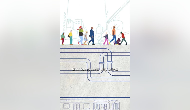
New York City is digging deeper, both literally and figuratively, into its infrastructure with a new initiative to map the underground world. Mayor Eric Adams has unveiled 3D Underground (3DU), a comprehensive $10 million project to create a 3D data-sharing platform that will illuminate the labyrinth of utilities and geological features hidden below the city's surface. This effort seeks to enhance the safety and efficiency of the Big Apple's urban environment.
The program, announced with the goal to improve emergency preparedness and streamline city operations, has its roots in the aftermath of the September 11 attacks. It seeks to clearly outline the subterranean network of services essential for the city's day-to-day functionalities and to anticipate construction delays, as reported in a statement by the NYC Mayor's Office. The city has recognized the necessity of understanding this underground complexity not just for current operations but also for future resiliency.
Aiding the endeavor, the New York City Office of Technology and Innovation will be collaborating with Columbia University to map the city's soil composition. This step is pivotal for construction planning and emergency management, as Mayor Adams emphasized. "Keeping New Yorkers safe doesn't just mean understanding what is happening above ground, but also what is happening below ground," Mayor Adams said, as per the NYC Mayor's Office. Detailed soil data and mapping are seen as key components in safeguarding the metropolis against the unforeseen.
The 3D Underground initiative is backed by funds from the U.S. Housing and Urban Development Community Development Block Grant for Disaster Recovery, a financial injection granted in the wake of Hurricane Ida. This forward-looking program aims to to reduce not just costs and disruptions but also to inform better decision-making across city agencies and utility companies. According to Deputy Mayor for Operations Jeff Roth, "This initiative strengthens our partnerships and helps us deliver projects faster, safer, and smarter." The project aligns with the broader "Getting Stuff Built" agenda that prioritizes the modernization of the city's infrastructure, as noted by the NYC Mayor's Office.
Commendations for the project have come from various corners including the New York State Department of Public Service, academics, and international peers. Rory M. Christian, CEO of the New York State Department of Public Service, noted the potential benefits for improving coordination on shared initiatives. Columbia University's Professor George Deodatis also weighed in, highlighting how his institution's partnership with the city "is turning decades of soil data into actionable knowledge," as reported by the NYC Mayor's Office.
The 3DU platform is anticipated to be accessible to users starting early 2028, with the projected outcome of a safer, more responsive, and efficiently planned city. This mapping also acts as a preventative measure for infrastructure failures, ensuring that New York keeps pace as a resilient, adaptable, and smart city in the face of ongoing and emerging challenges.


