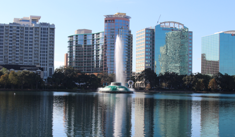
The National Weather Service in Melbourne, Florida, has laid out the weather landscape for Orlando and its vicinities, highlighting a warming trend heading into the weekend with temperatures reaching the mid-80s, before an abrupt drop early next week following a strong cold front. According to the forecast, there is a moderate risk of rip currents along the beaches today, with a dip in boating conditions coming next week.
Today and Friday are set to be mostly dry, with a low chance of showers or sprinkles, particularly south of Cape Canaveral. Temperatures are expected to stay just shy of 80 degrees this afternoon amidst abundant cloud cover, reaching the upper 70s to around 80 degrees, the forecast notes. An increase in cloud-based moisture will slightly raise the chances for overnight showers. Come Friday, onshore flow and increasing precipitable water levels make for a 20-30% chance of rain. A brief respite from the clouds will allow the temperatures to climb into the low 80s by Friday afternoon. The weekend continues to warm up, but residents should prepare to quickly bundle up as below-normal temperatures are anticipated to commence on Monday.
With respect to marine conditions, the good news for boaters and sea-goers is that favorable conditions will hold up through the end of the week and into the weekend, with seas at 2-3 feet and onshore winds at 10-14 knots. However, seafarers are forewarned of a scenario change coming Sunday night into Monday, as it is reported that there will be a fresh to strong northwesterly wind that will lead to building seas (7-11+ ft) and hazardous boating conditions early next week.
The upcoming cold front, arriving Sunday into Monday, is anticipated to erode the recent warmth, bringing with it a brand of cold that the area hasn't felt this fall season yet. Some of the coldest air we`ve experienced so far this fall arrives Monday night into Tuesday morning, according to the National Weather Service report, with the early part of the week seeing numbers potentially dip into the 30s at dawn. Following this front, the forecast promises a relief in wind strength, but also dictates a continuation of temperature readings below the norm through to Thursday.
For aviation purposes, VFR conditions persist through the current forecast period with a possibility for showers, highlighted as VCSH, starting from VRB southward after 17Z. It should be noted that changes in the weather pattern beginning Sunday could potentially affect flying conditions as well.
As Orlando residents and visitors navigate the shifting skies, they may find solace in the certainty of the forecast, a mathematical prophecy that rarely engages in deception. For now, umbrellas stay tucked away, swimsuits ready, until the cold compels a different attire, one more suited to the bracing temperatures that silently promise to return the Floridian fair weather to its seasonal slumber.


