Honolulu locals and visitors can expect stable weather conditions through the weekend as a high pressure ridge sits over the Hawaiian Islands. Light showers and stable temperatures will characterize the week, with minimal activity due to the lurking presence of a southeasterly wind flow. According to the Honolulu Weather Forecast, the region will remain under this relatively calm spell until a weak cold front approaching from the northwest alters the weather pattern early next week.
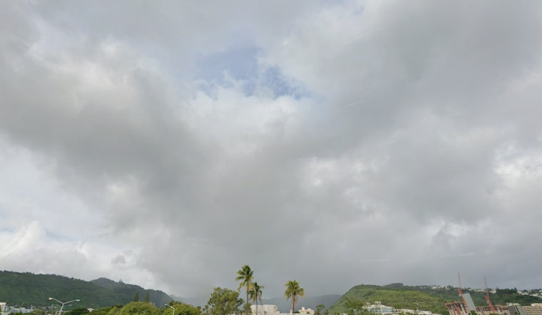
The morning satellite imagery, as observed by the GOES IR satellite, displayed fairly stable and shallow cumulus clouds hovering over Hawaii, with a hot dark spot marking the Kilauea Volcano's recent eruptions. Awaiting the advance of a cold front, a sustained ridge of weakened pressure maintains order over the island chain, trapping volcanic smog (VOG) and creating hazy skies that could linger through tomorrow, indicate forecasts by the University of Hawaii.
Aviation concerns remain low with light to moderate east-southeast trade winds permitting periods of sea breezes during the day. The National Weather Service predicts "MVFR conditions may briefly develop within passing showers over exposed windward and mauka regions," assuring that, generally, Visual Flight Rules (VFR) will prevail with no AIRMETs currently in effect or anticipated.
Maritime conditions reflect a similarly peaceful story, as a surface ridge promises gentle to moderate east to southeast flow across Hawaii waters. Nevertheless, potentially increasing winds around Maui and the Big Island by the week's end hint at the need for a Small Craft Advisory. A High Surf Advisory remains in force until early Friday for north- and west-facing shores due to a medium to large northwesterly swell expected to peak overnight, with waves possibly reaching 10 feet, as per the NWS marine forecast.
As for fire weather, conditions appear to be safe across the islands for the near future. Winds and humidity levels are predicted to stay "below critical fire weather thresholds through the weekend," and while there's minimal shower activity forecasted, temperature inversion heights are projected to range around 5,000 to 6,000 feet near the Big Island and Maui. With no immediate wet weather trends until next week, fire risks should remain low. Current advisories include a High Surf Advisory for multiple islands, specifically for shorelines facing north and west, as stated by the Honolulu Weather Forecast.


