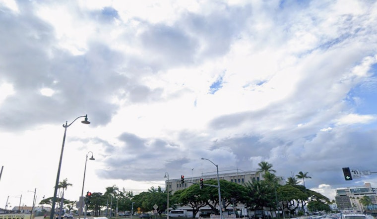
Honolulu residents can expect a shift in their weather as the weekend's dry patch transitions into potential storms next week. According to a report from the National Weather Service (NWS) Honolulu, the forecast reveals lighter trade winds and low precipitation for the weekend, followed by "increasing chances for more inclement, active weather" come next week. The weekend might be the calm before the storm, but those living on the islands should prepare for what's ahead.
The calming weather pattern is attributed to a high-pressure system slowly dissipating over 1,200 miles from Oahu complemented by drier mid-level air from the east. This will result in a "stable weather pattern" with partially sunny skies favored by Hawaiians planning outdoor activities. Over the windward side, particularly in the Big Island where 2 to 5 inches of rain had already fallen, the National Weather Service notes diminishing showers and drier conditions. However, looking ahead to Monday, forecasters are tracking "a weakness" in the otherwise tranquil upper ridge, possibly leading to stormy scenes early in the week.
As the upper trough and a cold front make their approach, the NWS predicts a stir in the atmosphere, saying, "the trough or upper low will cool 500 mb temperatures to around -10 C and this instability will increase the probabilities of isolated thunderstorms" especially around Oahu and Maui County. Residents should brace themselves for "numerous showers that may produce locally heavy rain" from Monday through Wednesday. With upper-level conditions also ripe for mountainous snow showers, outdoor enthusiasts might face a very different landscape come midweek.
For mariners and those inclined to surf, the sea offers challenges of its own. While the trade winds are expected to taper off, a Small Craft Advisory remains in effect through this evening for select waters around Maui County and the Big Island. An upcoming trough could also stir the waters early next week, with the risk of "isolated to scattered thunderstorms over the marine waters" adding a layer of unpredictability, as reported by the NWS. A forecasted northwest swell could lead to elevated surf through the weekend, so beachgoers are urged to heed caution as conditions evolve.
There’s a silver lining for fire-risk concerns, as recent rain and higher humidity have contributed to “a lower fire weather threat” across the islands. The stability in lower inversion heights—ranging from around 4,000 feet in the western islands to about 9,000 feet on the Big Island, as per the NWS—suggests a continued reprieve from fire danger.


