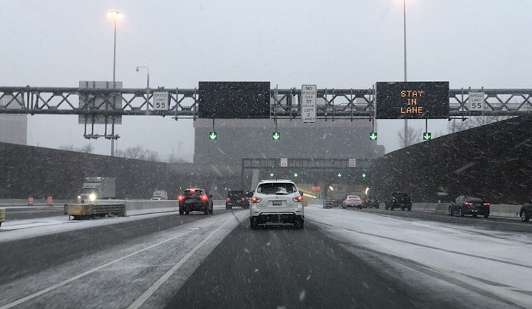
Residents across Baltimore and the Washington, D.C. region today are navigating a wintery mix and pockets of freezing fog, which prompted advisories for safer morning commutes. A report from the National Weather Service Baltimore MD/Washington DC, stated that areas like Nelson and Albemarle counties and up across the Virginia Piedmont into the D.C. metro area, including Southern Maryland, were hit with a freezing fog advisory effective until 9 AM. With visibility low and temperatures struggling to crest the low 30s, the NWS advises folks to take care when traveling until conditions ease up.
Today's weather, while remaining on the chilly side with highs making it into the low/mid 40s, will see a cold front swing through by evening, per the same NWS report. That's about to literally chill any thoughts of a mild day, with light snow showers expected to grace the mountains and the I-64 corridor. The day will showcase a mix of clouds and sunshine before giving way to another bout of cold air that's set to sweep across the region later in the week.
Looking ahead to Monday, the action isn't letting up as an upper-level low pressure system takes a track near the Carolinas. According to the NWS forecast, "Snow should be the dominant precipitation type as the system sweeps across southern Virginia." Accumulations might not break the bank at an estimated half-inch to an inch, but they'll likely lead to slick conditions. Temperatures on Monday aren't going to do us any favors, with the needle hanging in the upper 20s to mid 30s, and gusty north-northeasterly winds making it feel even colder.
For those with their sights set on longer-term forecasts, buckle up for a classic mid-Atlantic winter week. Reinforcing cold fronts could bring a mix of rain and snow showers from Wednesday through the weekend. The National Weather Service indicates that accumulations in the mountains through Thursday morning could mount up to several inches, and a subsequent system trailing close behind might dust the region with some light snow, and a rain/snow mix in western Maryland Tuesday evening into the night. This weather train doesn’t look to stop anytime soon, with yet more cold air following in its wake.
On the marine side of things, Dense Fog Advisories were also issued until 9 AM this morning for certain areas of the tidal Potomac and portions of the Chesapeake Bay. Mariners should expect improved visibility later in the day, but with an upstream cold front arriving later this evening, gustier winds lie in wait. Small Craft Advisories may soon be in effect, according to the National Weather Service report, as winds could kick up to 20 to 30 knots post-front. Boat owners and operators are advised to remain aware of the changing conditions.


