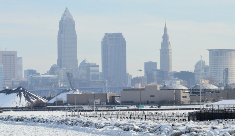
Cleveland residents are bracing for a weather rollercoaster, as the National Weather Service in Cleveland has issued a forecast noting sharply colder conditions today. Before slightly milder weather ushers in the next week, a brief warm-up on Saturday is expected, followed by another cold front hitting Saturday night, according to the National Weather Service. The immediate impact will be significant wind chills plunging into the single digits, with flash freeze conditions possible this morning into the early afternoon due to plummeting temperatures.
The forecast, detailed by the NWS Cleveland, anticipates wind gusts of 30-45 mph today in the wake of the cold front. Alongside chilling temperatures, Erie County, PA, is preparing for lake effect snow expected to develop around 16Z, particularly impacting the area east of Cleveland. Informed by the NWS discussion, the brief window of lake effect snow could amount to accumulations of 3-6 inches in Erie, PA County, with a quick-hitter forecasted specifically for the lakeshore districts. With the ever-changing weather patterns, this lake effect event is expected to shut down around 06Z, as warmer air moves in, heralding above-freezing temperatures for Saturday.
Looking ahead, the NWS predicts that high-pressure systems exiting to the east and an incoming cold front mean Sunday will see temperatures dipping back below the freezing mark. This incoming system, expected on Saturday night, promises to be a largely dry system with minimal precipitation anticipated for the region.
The longer-term forecast from NWS Cleveland points to continental ridge-induced milder mid-week conditions, though this pleasant interlude won't completely deter systems from passing through the Great Lakes area. The forecast for December 25th looks fairly mild, offering a brief respite from the more volatile conditions seen earlier in the week. Meanwhile, the marine forecast warns of rough conditions on Lake Erie as gale warnings remain in effect, with winds peaking up to 30-40 knots and waves reaching as high as 14-16 feet. By Saturday, as the high pressure builds, conditions should gradually improve on the lake, with winds shifting to a more southerly direction and easing off ahead of the next front making its way through Saturday night into Sunday.
For those Clevelanders looking to the skies or preparing to brave the lake waters, it's clear that layers and a keen eye on the shifting forecasts are in store for the coming days. Stay updated with the rolling tides of mid-December weather by following the latest updates from NWS Cleveland.


.jpg)