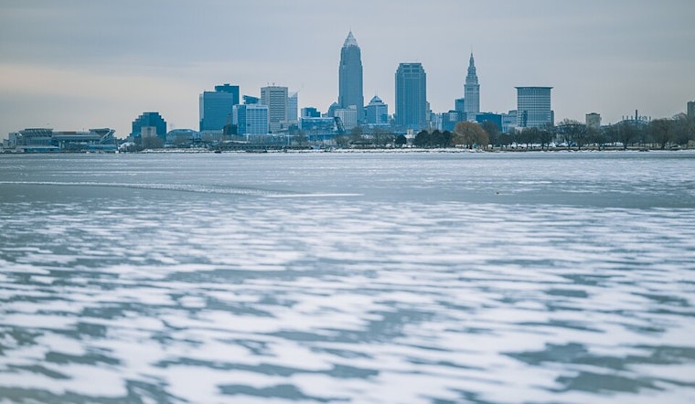
The National Weather Service in Cleveland has issued a forecast predicting a mixed bag of weather conditions for the Ohio Valley region through the end of the week. As of Monday morning, high pressure is building in the lower Ohio Valley even as a surface trough hangs over Lake Erie, with this pattern expected to continue advancing toward the Atlantic by Tuesday.
A weak cold front could make its way across the region on Wednesday, but the real headline comes in the form of a potent low-pressure system that's gearing up to hit the Great Lakes on Thursday and Friday. In the near term, Clevelanders can expect light snow accumulation, particularly in areas already under a Lake Effect Snow Warning that will remain in place until early Tuesday morning. This includes parts of eastern Cuyahoga, Lake, Geauga, and Ashtabula counties, with residents possibly seeing "an additional inch or two" of snow, according to the NWS staff report.
As the week progresses, warmer air advection from the south promises a break from the persistent cold the area has been experiencing, with temperatures slated to climb to above-normal levels, potentially reaching the upper 40s by Thursday afternoon. This change would mark the first time temperatures have climbed this high since November 26, making it clear "how cold it`s been the past several weeks," explained meteorologists from the National Weather Service. Yet, this brief warm-up is poised to bring some challenges, including strong gusty winds and a significant chance of rain come Thursday.
By Thursday evening, wind gusts could reach 35-40 mph, with an "at least 20-40% chance of gusts greater than 46 mph," which could prompt a Wind Advisory for much of the area. Additionally, rain accumulations around half an inch are expected, with localized amounts potentially doubling—a situation that, despite being unlikely to cause river flooding, could turn backyards into quarries of mud. As noted by the National Weather Service, the arrival of the cold front will cause temperatures to plummet swiftly from Thursday's highs down into the low 20s by Friday morning.
In maritime news, conditions on Lake Erie are set to challenge boaters with the presence of a Small Craft Advisory remaining active due to a western ridge influencing regional surface winds and generating waves up to 10 feet, particularly east of The Islands. Winds and waves are anticipated to decrease by Tuesday morning, but not for long, as renewed vigor in southwesterly to westerly winds is expected to necessitate further small craft advisories later in the week. Concerning potential seiche effects due to Thursday and Friday's weather system, mariners should stay tuned for possible Low Water Advisories specific to the western basin, affecting their navigational plans on Lake Erie.


.jpg)