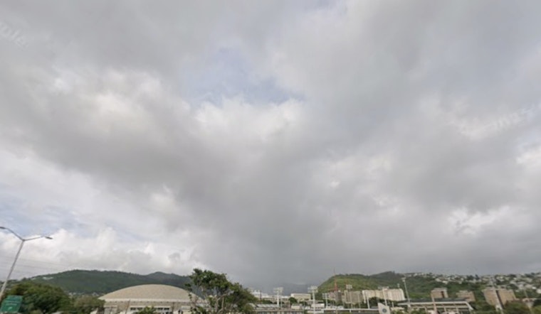
The National Weather Service in Honolulu forecasts a stalled cold front near Kauai and Oahu, bringing periods of moderate to heavy showers and isolated thunderstorms to the western islands. The eastern islands are expected to remain mostly dry due to a weak ridge and southeasterly winds.
Improving weather is expected for Molokai and Oahu from Thursday onward as a high-pressure ridge slowly rebuilds over the islands, bringing more typical easterly trade wind conditions. Kauai, however, will continue to see clouds and showers. The National Weather Service warns of “cloudy skies, periods of moderate to locally heavy showers, and isolated thunderstorms for these western islands through tonight.”
The aviation sector is impacted by MVFR ceilings and moderate to heavy showers that may reduce visibility, especially on northern slopes with southerly winds. Conditions are expected to improve as trade winds return this weekend. A Small Craft Advisory remains in effect through tonight for strong winds and seas up to 10 feet around Kauai and Oahu, the National Weather Service said.
After the weekend, sunny conditions are expected to return, but another cold front may bring additional wet weather after Christmas. The National Weather Service has issued a Flood Watch through Thursday afternoon for Niihau, Kauai, and Oahu. Fire weather conditions are expected to remain below critical thresholds over the next seven days, with humidity and wind levels limiting fire risks.


