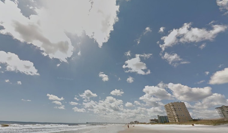
Jacksonville's forecast promises a string of temperate days ahead leading up to a fair-weathered Christmas Day, per the National Weather Service in Jacksonville. Today, residents can expect increasing clouds with temperatures climbing to a comfortable 68 degrees. A breezy northeast wind around 15 mph, which could see gusts as high as 23 mph, will keep the city feeling brisk.
However, not everything is tranquil on the northeastern Florida coast. A High Rip Current Risk warning issued by the National Weather Service remains in place through late tonight. Dangerous rip currents are expected, posing a serious risk to beachgoers along the Northeast Florida Beaches area.
Heading into the evening, those same breezes are set to mellow out, with the NWS predicting a low around 57 degrees as wind speeds drop. From Tuesday onward, locals can anticipate sunny skies with highs resting comfortably in the mid-70s. Calm winds during nighttime hours may lead to patchy fog, particularly after 2am on Tuesday night and before 8am on Wednesday.
Weekend forecasts suggest a continuance of this mild pattern, with mostly sunny days and highs lingering near 75 to 77 degrees. However, revelers should note – while the days may be warm and agreeable, evening temperatures are expected to dip into the mid-50s. So plan accordingly if your holiday merriment extends into the cooler night.
As for the rip currents, the NWS cautions, "Swim near a lifeguard. If caught in a rip current, relax and float. Don't swim against the current. If able, swim in a direction following the shoreline. If unable to escape, face the shore and call or wave for help."


