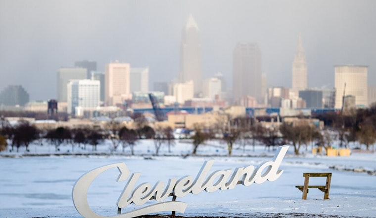
A chilly winter forecast is in store for Cleveland as a weak clipper system is expected to move through the region today, according to the National Weather Service in Cleveland. Snow accumulations up to 1 inch are possible, especially north of Highway 30, which might lead to some minor travel disruptions throughout the day and into the evening. In addition to the snowfall, lake-enhanced snow showers may linger tonight in the Snowbelt areas, potentially adding another inch to the tally.
The approaching weather system might seem intimidating at first glance, with its presence marked on regional radars, but it's anticipated to lose some of its punch as it makes its way over the area during daylight hours. Despite this, temperatures hovering near or just below freezing during the day could still allow for a dusting to an inch of snowfall. Residents are advised to remain cautious as "minor travel impacts maybe possible today into this evening," according to the NWS report.
As the system departs later today, a cold front will sweep through in its wake, bringing about a gust of colder air and plummeting temperatures overnight into the teens, with some areas possibly seeing single digits. The cold spell isn't going to break just yet, with Monday forecasting to offer only a brief respite in terms of snowfall, all the while remaining quite frigid with highs just in the middle to upper 20s.
Looking ahead, this temperamental weather pattern isn't one to settle down quickly. High pressure making a transient visit on Monday will hastily step aside as "another fast moving clipper and low pressure system will track through the Upper Great Lakes on Tuesday," the NWS Cleveland notes. This system will usher in not only increased cloud cover and gusty winds reaching 35 mph but also another round of precipitation, starting as light snow before potentially turning to light rain as milder air arrives. Forecasters expect some areas might collect up to an inch of snow on Tuesday before it transforms to rain in the coming evening.
By Wednesday, prepare for another strong low-pressure system, which will likely bring rain showers and gusty winds, a trend with the possibility of gusts hitting the 40 mph mark. Further ahead into the week, the remaining outlook suggests a wintry and unsettled pattern with numerous clippers possibly keeping things snowy and cold. NWS advises keeping tuned for potential developments as lake effect snow might make a significant appearance next weekend.
On the marine side of things, boaters should heed advisories as a Small Craft Advisory has been issued by NWS Cleveland, in effect from today afternoon through Monday morning, with winds whipping up to 20 knots and wave heights reaching 4 to 5 feet. The week ahead doesn't look too friendly for marine conditions either, as strong winds over Lake Erie might necessitate Low Water Advisories due to anticipated low water levels in the western basin.


.jpg)