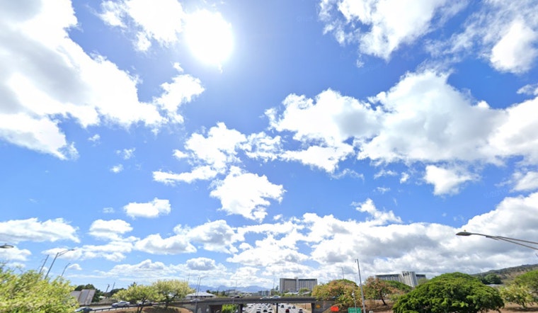
As Honolulu residents enjoy a spell of stable and dry conditions, light southeasterly winds continue to define the city's weather patterns. "Stable and dry conditions with light southeasterly background winds will continue into Wednesday," according to the National Weather Service in Honolulu. Daytime sea breezes and nighttime land breezes are expected to contribute to a calm weather experience in the coming days.
A band of clouds connected to a weakening front, located around 500 miles northwest of Kauai, has been noted by the National Weather Service and is anticipated to increase shower chances for the western islands by midweek. The front, however, is forecasted to dissipate as "differences between the various global models remain," with the ECMWF model predicting a wetter outcome for the islands in Kauai County, whereas the GFS model suggests a drier scenario where the weakening boundary stalls and then retreats westward, away from Hawai'i.
For the aviation sector, mostly Visual Flight Rules (VFR) conditions are foreseen, with temporary Marginal VFR (MVFR) conditions possible along windward areas in the morning. "No AIRMETs are in effect and none are expected," as stated by the NWS. These benign conditions are set to precede the arrival of stronger trade winds commencing Thursday.
The marine forecast points to functional sailing conditions into midweek with a "weak surface ridge" fostering light to moderate southeast winds. The appearance of a cold front approaching Kauai tomorrow could prompt minor shifts in this setup. The front is believed to linger briefly before downgrading into a trough and then backing away. "A ridge of high pressure building north of the region will bring a return of moderate to locally strong easterly trades," as reported by the NWS, suggesting a rise in easterly wind strength that could necessitate a Small Craft Advisory in the coming days.
Surfers can look forward to a diversity of swells approaching the island's coasts this week, with expectations for advisory-level surf heights from Thursday through Saturday. An ascending northwest swell is projected to roll in on Wednesday, followed by larger and longer-period swells later in the week. While the High Surf Advisory was canceled earlier, it could be reinstated if the anticipated conditions materialize.
Concerning fire weather, the risk remains low, with "critical fire weather conditions are not expected this week," as relative humidity is set to rise with the return of the trade winds, despite the current dry and stable conditions, as per a report by the NWS.


