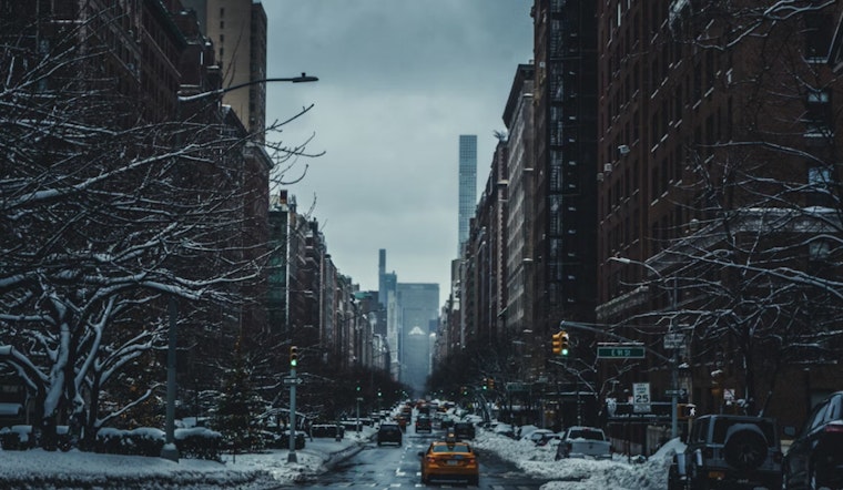
The National Weather Service has issued a hazardous weather outlook for New York City, with the possibility of significant winter weather in the coming days. Forecasts for Manhattan, Brooklyn, Queens, the Bronx, and Staten Island indicate that all boroughs are likely to experience similar cold and unpredictable weather. While today's skies are expected to remain sunny, clouds will increase, and temperatures are predicted to drop to around 30 degrees tonight across the city.
Christmas Day may see a small chance of rain and snow before 1pm, with mostly cloudy skies and highs in the mid-40s. The chance of precipitation is around 20%. However, a winter system arriving Friday afternoon is expected to increase the likelihood of snowfall. After 1pm on Friday, there will be a 40% chance of snow, which is predicted to reach 100% by evening. New snow accumulation could range from 3 to 5 inches, which may cause disruptions for last-minute travelers and holiday commuters.
The Hazardous Weather Outlook indicates the possibility of accumulating snow from Friday afternoon through Saturday morning. This forecast applies to New York City as well as areas in southern Connecticut, northeast New Jersey, and southeast New York.
By Sunday, snow is expected to change to rain, with a 70 percent chance of precipitation, resulting in wet conditions. Temperatures are forecast to remain just above freezing, with highs in the low 40s. The outlook for the following week includes varying conditions, with a chance of rain on Monday and partly sunny skies with highs near freezing on Tuesday. Cleanup efforts may be needed due to snow accumulations, and travel conditions could be hazardous.


